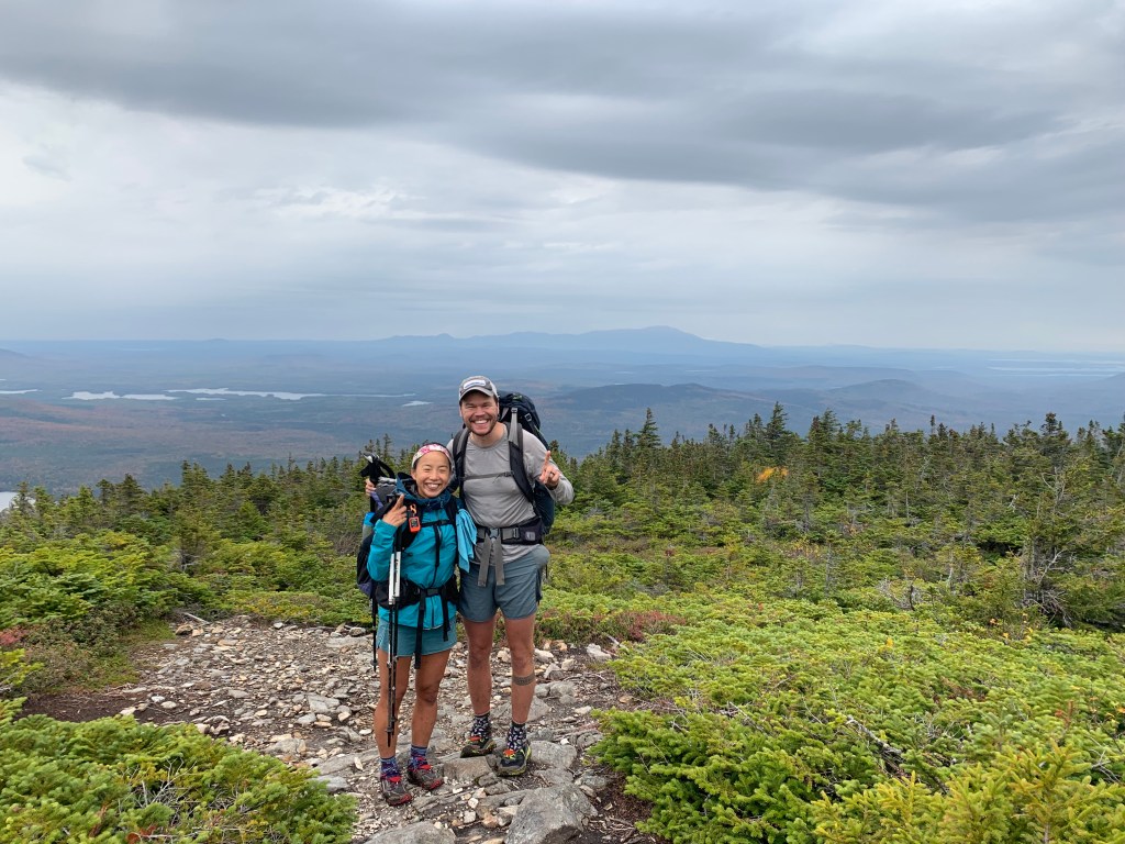

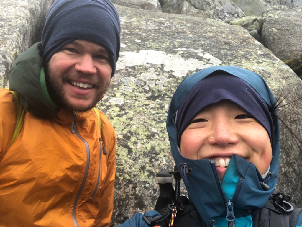
We made it. We summited Baxter Peak on Wednesday, October 2, 2019 around 11am. Five months and eight days after starting from Amicalola Falls in Georgia, we arrived at the southern terminus – Mount Katadhin in Maine – and completed our thru-hike of the Appalachian Trail.
After the 100 Mile Wilderness, we wanted to be well-fueled and well-rested for our last day, so we spent the night at a hostel in Millinocket. This meant that our summit day started early at the Appalachian Trail Cafe in Millinocket around 5:30am so we’d have plenty of time to chow down a large breakfast of eggs, tater tots, breakfast burritos, and coffee with real cream before we shuttled back to Baxter State Park and the trail.

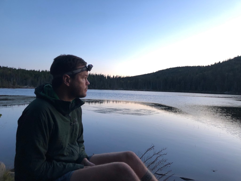
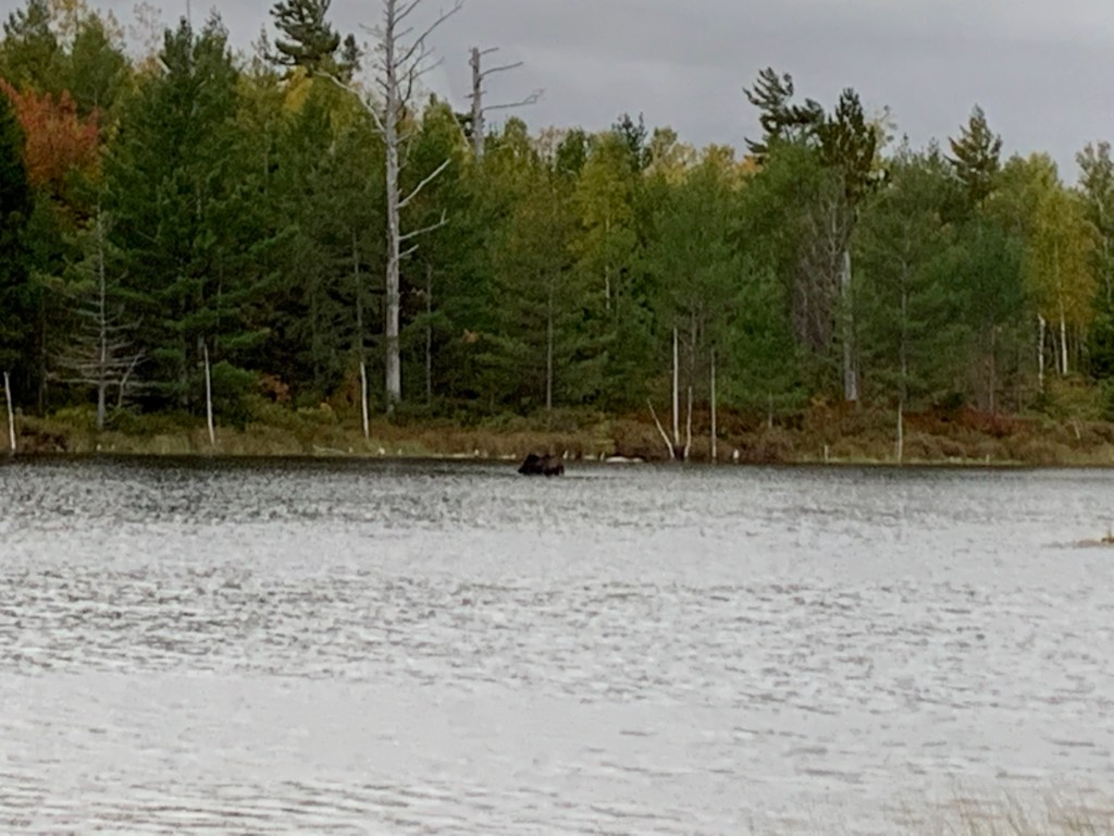
Through all of Maine, we had anticipated seeing a moose and on our way into Katadhin Stream Campground, Ole Man (owner of the AT Lodge, the main hostel in Millinocket) helped us spot this moose at Stump Pond. The large cow below looked more like a brown rock to us, with her head under the water.
Overall, our last day would be a relatively short day. The hike up Katadhin on the AT follows the Hunt Trail to the summit – about 5.2 miles with 4179 feet of elevation gain.
Before we started climbing, the day was relatively warm – in the 50s and cloudy. As we progressed up the mountain, that quickly changed and we quickly layered up.

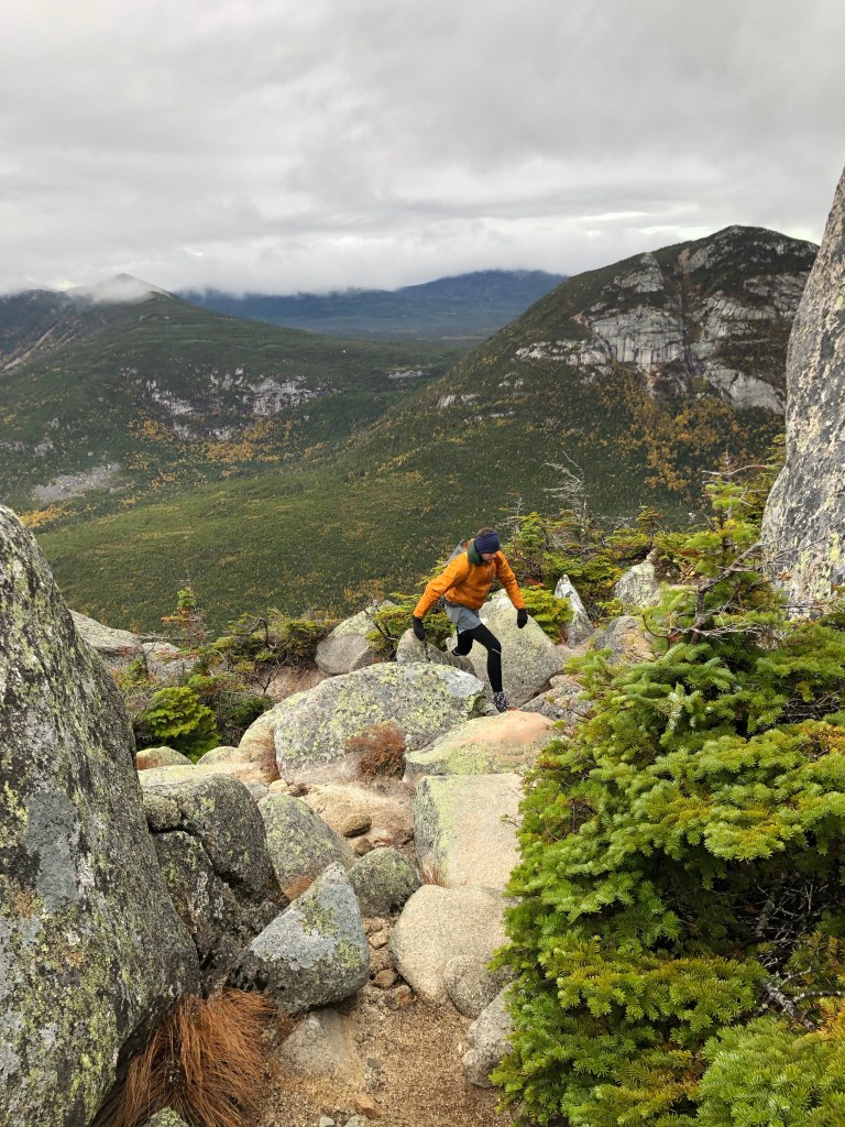
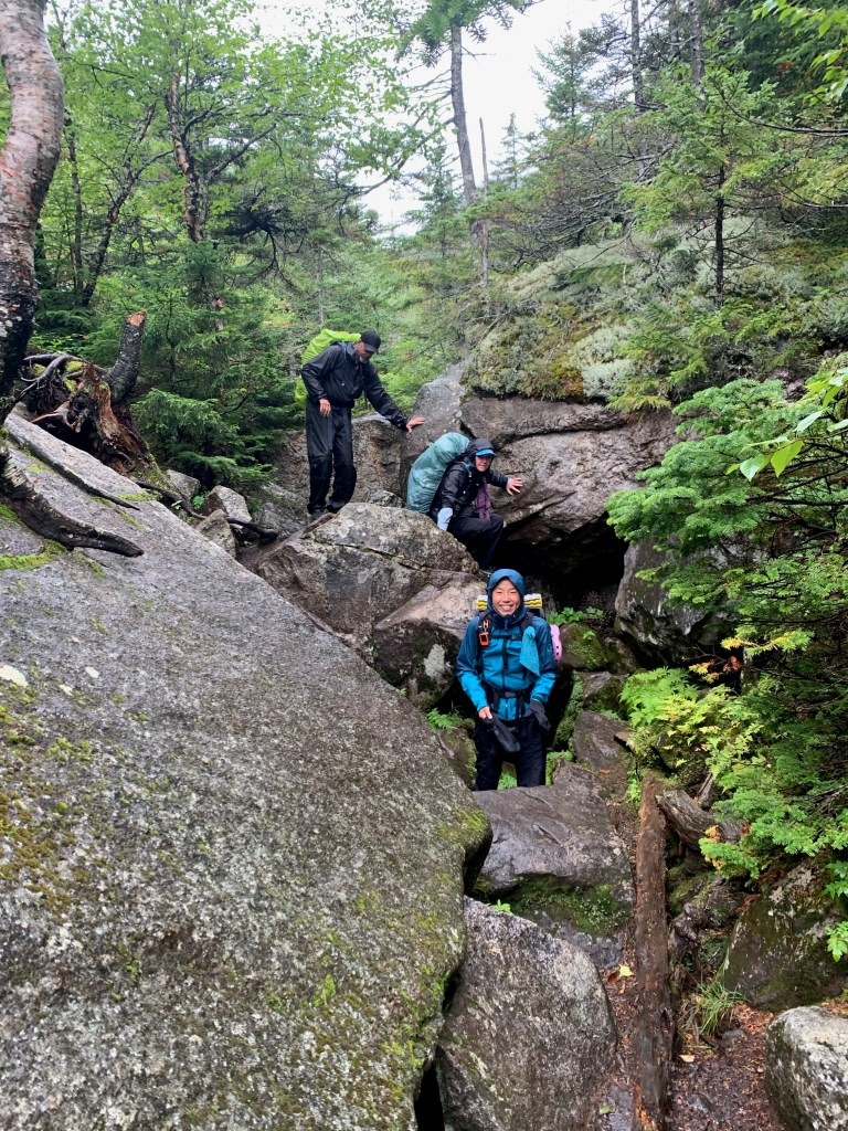
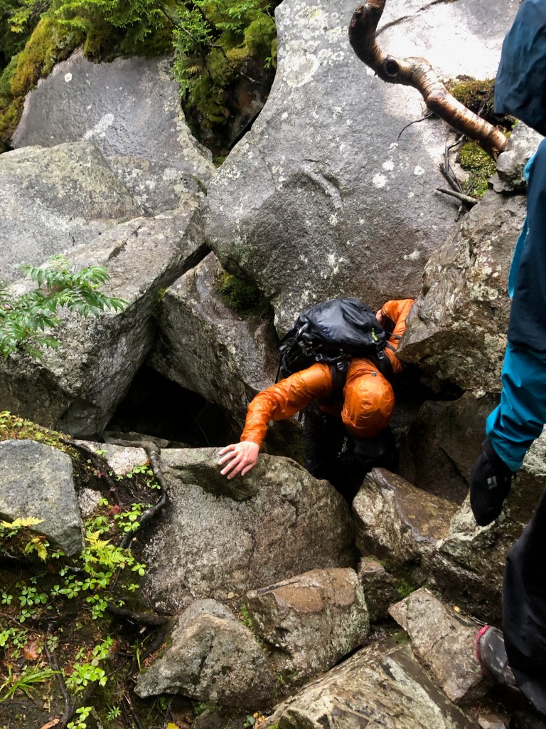
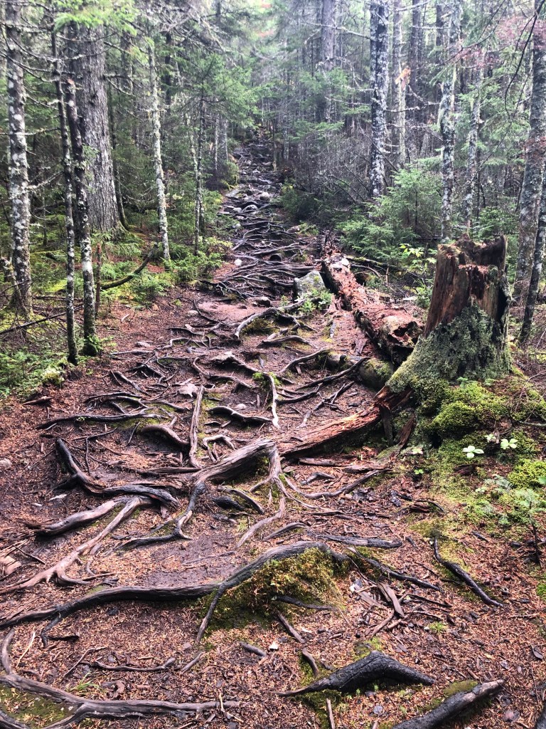
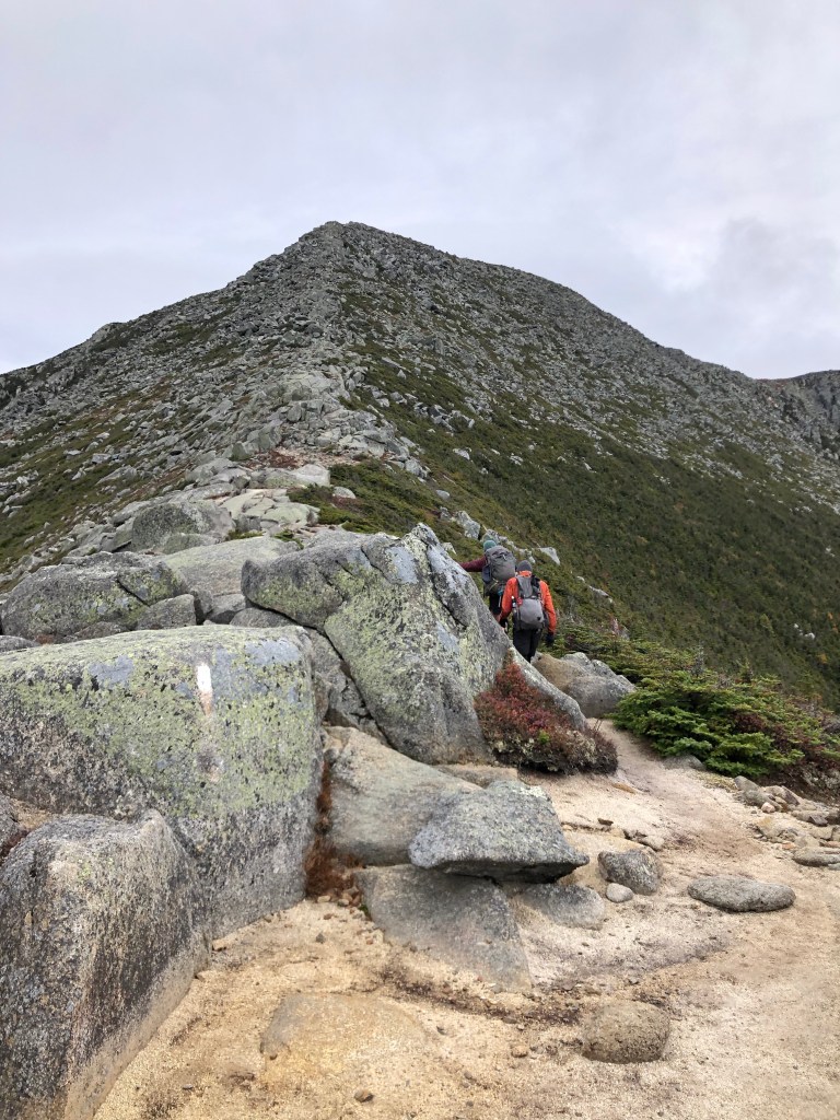
By the time we reached the tree line, the wind became very strong, and I didn’t get any good photos of the scrambling section of our climb for fear of losing my phone in the rock crevices. It was a short section but definitely required as much shoulder and arm strength as we needed through Mahoosuc Notch.
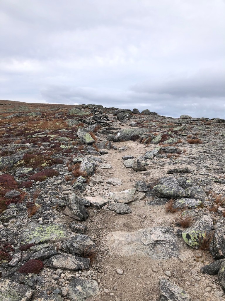
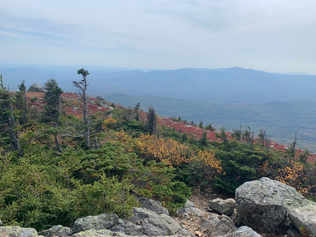
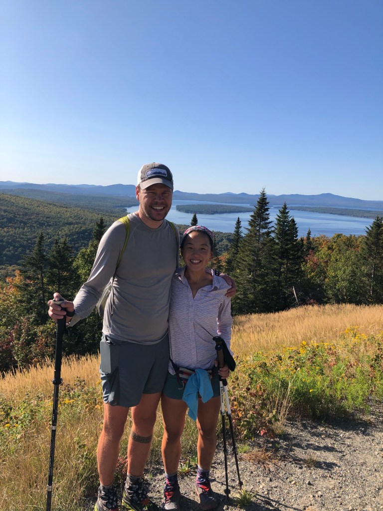
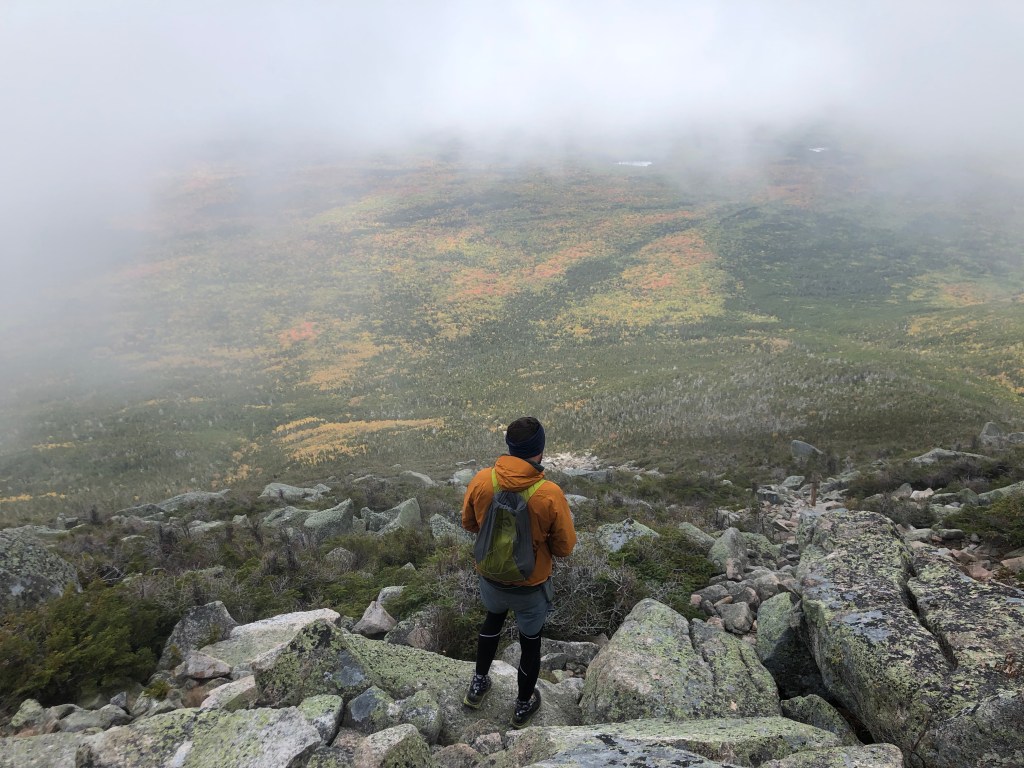
When we made it past the scramble, we reached a rocky, flat area known as the Tableland. I was still tired from climbing rocks, but this where John’s adrenaline kicked in and he started pushing the pace to get to the peak. I started to lag behind and I embraced the “Snail” part of my trail name.

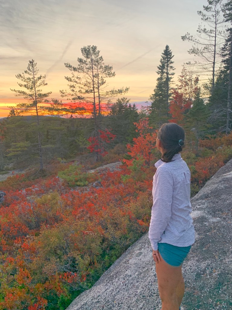
It felt pretty surreal to reach this point, where we could see our last stretch. We had discussed this for months, with increased regularity through the 100 Mile Wilderness: whether we would make it here without trail-ending injuries or just getting fed up with the bugs in Connecticut and the heat in Pennsylvania, what would Mount Katahdin look like and feel like to hike on (we avoided online accounts and YouTube to retain some surprise for ourselves), and how we might feel again coming down from our last peak on the trail.
But like all parts of the trail, you’re just there and that moment doesn’t last too long. And so you do your best to be there and remember the brief respite we had from the lashing wind behind a very large boulder, the stop I made at Thoreau Springs (despite John’s excited anticipation for getting to the top), rock hopping through the puddles on the Tablelands, and that the rocks can still be pretty jagged and dangerous even on what appears a benign last mile to the summit.
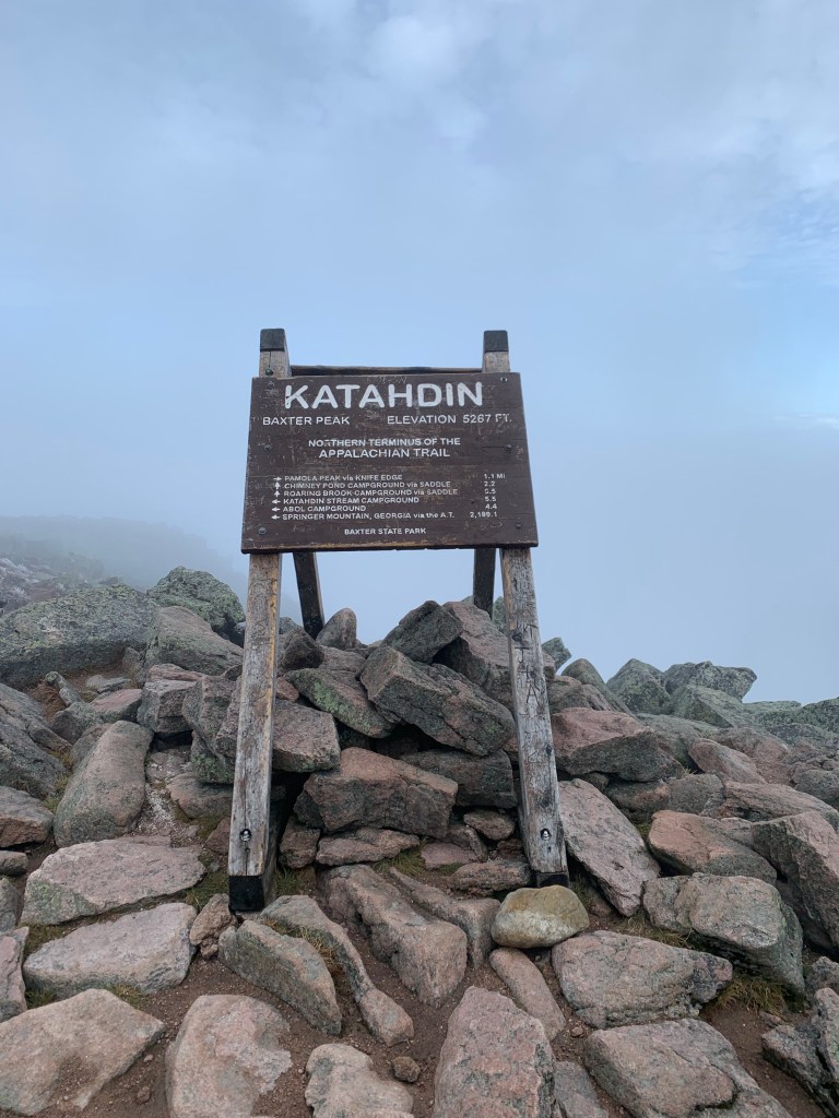
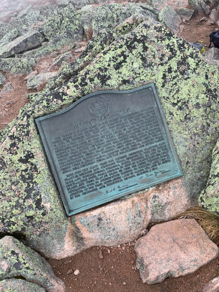
And then we were there. The final sign that marks the top of Baxter Peak. For a thru-hiker, the sign is well-known and the target of months of hiking. Over the backside of the sign, there is a beautiful view of Chimney Pond, and to the side there is a small dedication of Mount Katahdin.

We found ourselves in a cloud sandwich on top of Katahdin.

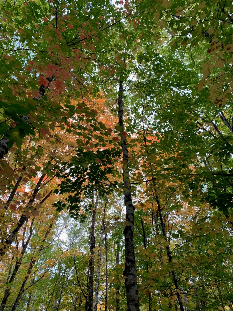
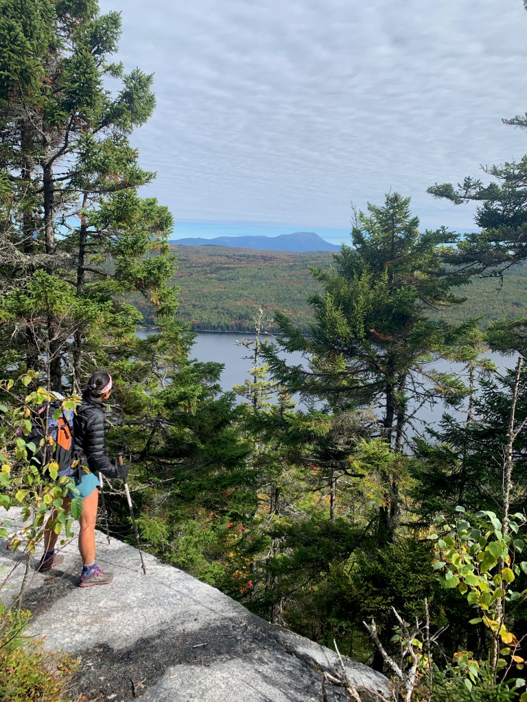
We celebrated briefly, and then started the descent. The Appalachian Trail doesn’t count the hike up Springer Mountain, nor does it count the hike down Katahdin – but every thru-hiker has to do both. On our descent, we took the Abol trail where the clouds opened up and we caught spectacular glimpses of leaves and lakes below.

At the bottom of Abol, we met up with several hikers who finished with us.
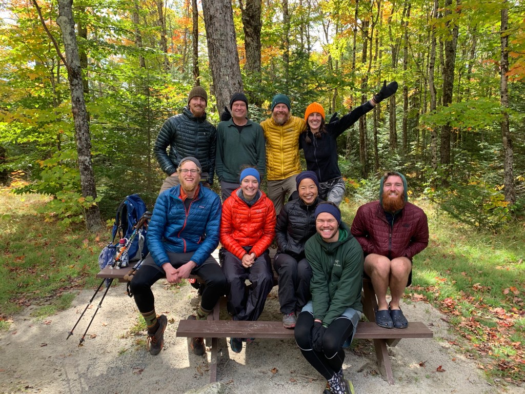
A large group of us finished on Oct 2
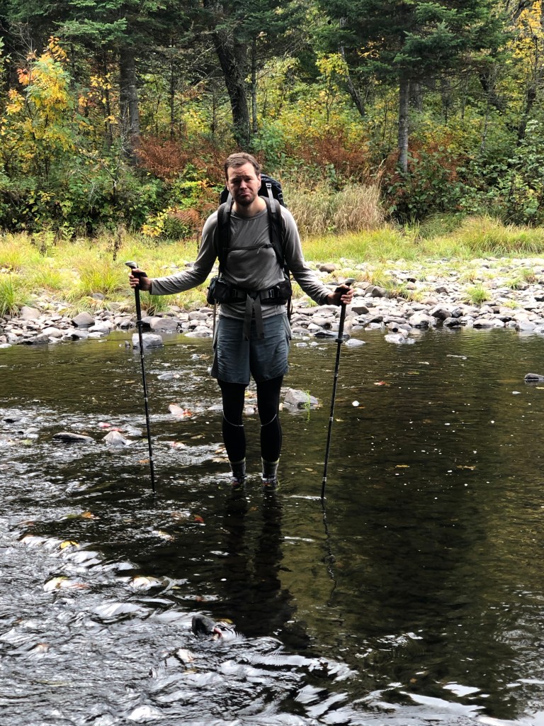
From there, we went took a shuttle and a bus to Bangor, Maine the next day, where John and I picked up a rental car. We drove with two other hikers, Fastball and Scooby, to Portland, Maine where we indulged in hard-won lobster rolls and gigantic ice cream cones.


On trail, we had a lot of practice. We practiced hiking and backpacking, ascending and descending mountains, eating out of ziplock bags, and setting up our tent in all conditions. We practiced being aware of and managing our expectations and our discomfort. There were many times we didn’t think we had expectations for what a section or a day would be like, but of course we did. We practiced sharing an experience with many people who all approach hiking and backpacking and camping in their own unique way. We practiced giving and receiving.
John and I spent 163 days on and around the trail, walking most of the estimated five million steps together, living in twenty-nine square feet, and carrying about 45 pounds of gear, food, and water between the two of us to live. Hiking the trail from start to finish is one accomplishment. By the end of the trail, we had our backpacks winnowed down to the bare essentials and everything had its place. We became masters at logistics, planning, and dividing up camp chores. We had learned more than we ever thought possible about our differences in pace and approaches to hiking and communication styles.

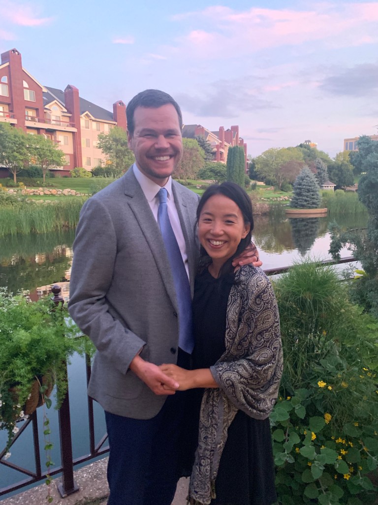
And now we are home. Our shoes don’t quite fit how they used to. Our feet are still tender from the many miles we’ve hiked, and our bodies and minds are not yet used to sitting in front of computers. Our wedding is approaching, and our talk has shifted from where we’ll find water to how to start our own business.
Being home requires reintegration. When we first started hiking, we started with low miles, around eight a day, and slowly increased to 20+ mile days. Similarly we need to lean slowly into life at home and acquaint ourselves with this new home and work experience. The trail changed parts of us; it added to who each of us is and who we are as a couple. So for now, we’re still caught somewhere between home and trail.
And that’s okay.