Featured

Since we’ve been gone: post-trail update

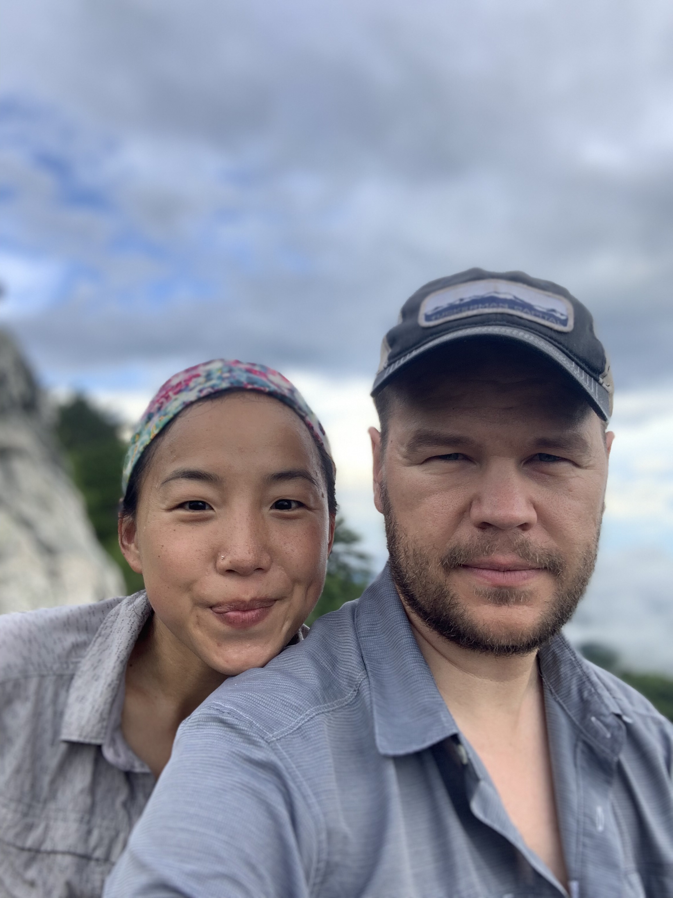
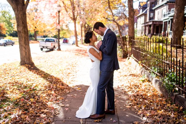
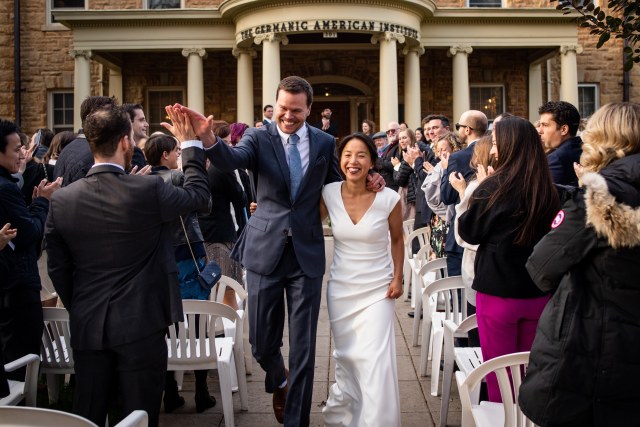
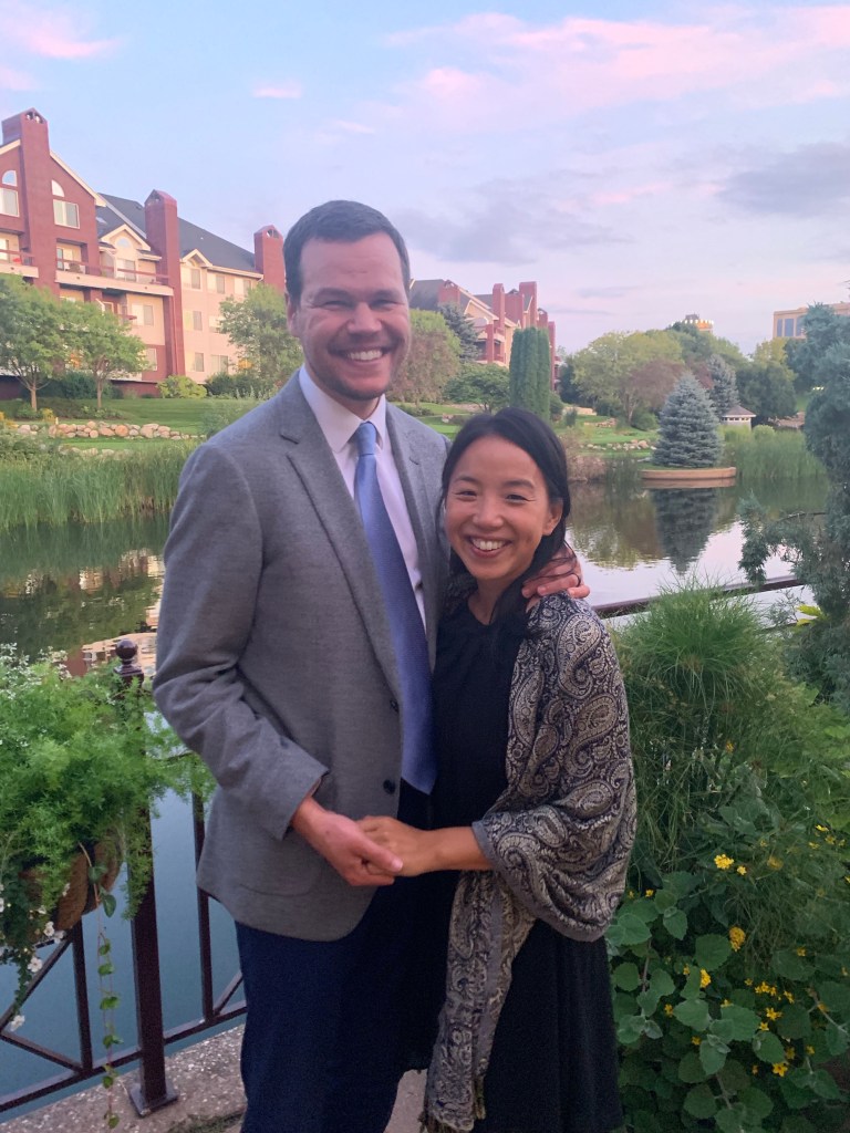
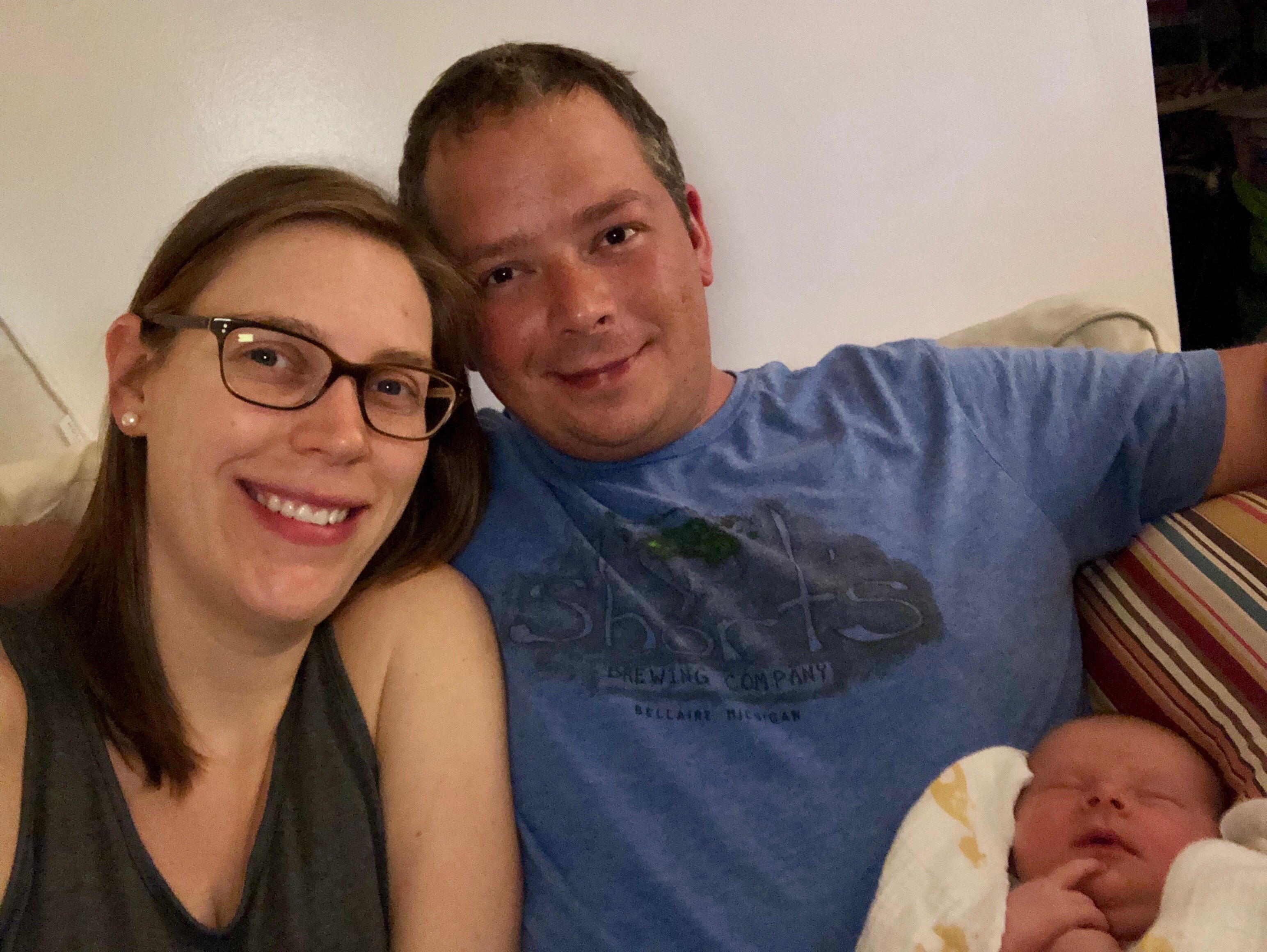
We had our wedding! John and I returned home from the trail on October 7th and had about 2.5 weeks to wrap up wedding plans. The day was chilly but warm by our Minnesota standards. Autumn managed to hang on for one grand finale weekend. Our guests came from near and far. We said our vows, exchanged rings, and then enjoyed the (seemingly way too short) night. It was a very special weekend, and we are still feeling grateful and loved by being in the presence of so many people. And yeah, it isn’t lost on me that I bought an expensive dress and wore it for a single day after wearing the same sweat-soaked clothes for five months straight.

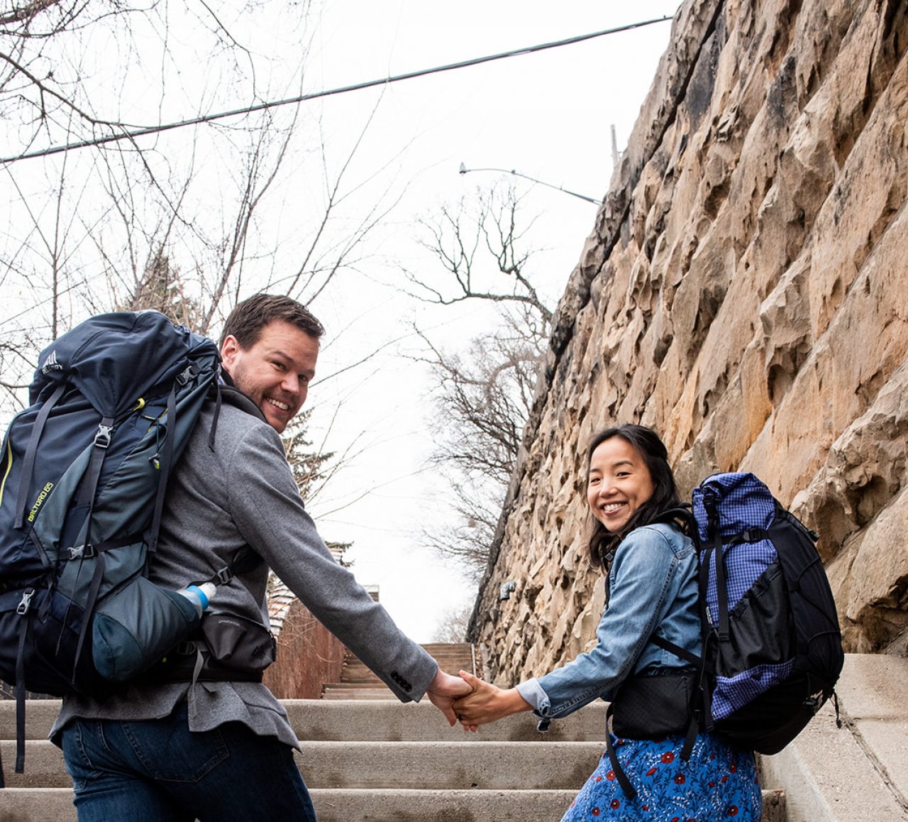
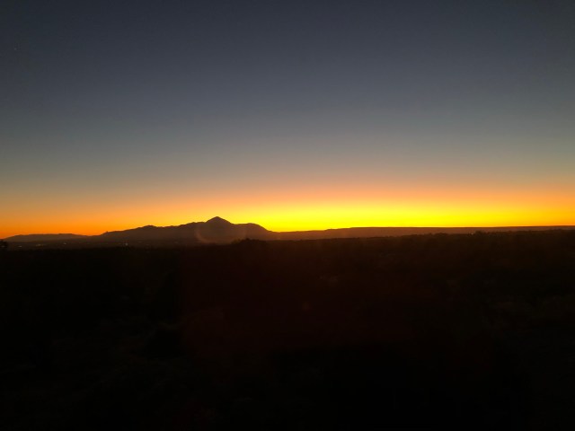
We honeymooned. Yeah, I know – wasn’t the trail enough? Nope. This time, we went to the High Desert near Durango, CO, with views of three mountain ranges, and stayed in a massive house that not only had running water and electricity but also had . . . heated bathroom floors and a teacup bathtub and a steam shower. Yup, we lived it up. But please know that we haven’t forgotten what it feels like to wake up in a 29 square foot tent and hobble a quarter mile in the dark, in the cold, to the privy where you will sit among the spiders and dead flies and try to not shine your light down the privy hole. Yeah, those experiences are experiences of a lifetime.

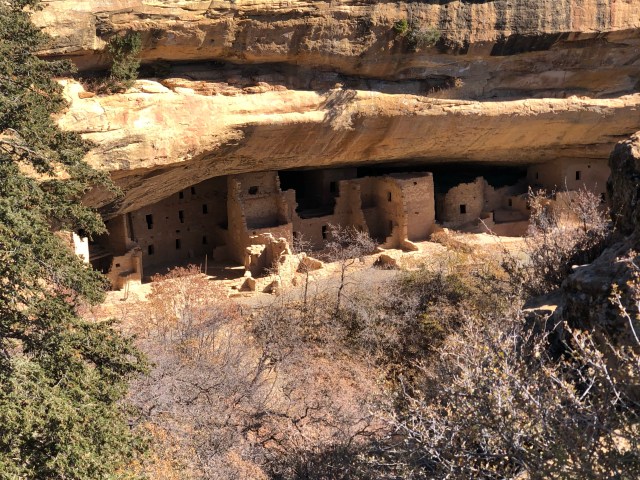
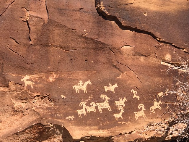
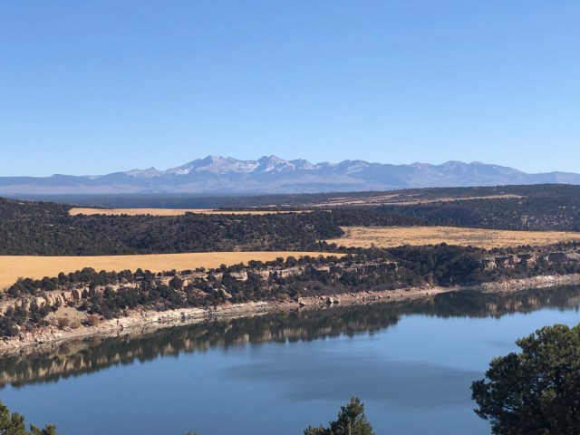
Besides maximum relaxation at the house in Dolores, Colorado, we spent time outside at Pagosa Springs, Arches National Park, Mesa Verde National Park, and Canyons of the Ancients. I’m definitely getting why the CDT would be a great trail to do.

The most common question we get is: “what is it like to come back to our “normal” lives?” And my answer is that in some ways, it’s great. I like having running water and modern plumbing. I like having a door, floor, ceiling, and windows. I like being at home in our bed. I like eating fresh foods instead of tuna fish in a tortilla. I’m enjoying solving problems that aren’t just related to how far I have to walk that day (John and I estimate that hiking logistics took up about 50% of air time); the variety of my work mind landscape is enjoyable. My body is loving the respite from being on my feet all day, and I love the plethora of options (maybe I’ll run, maybe I’ll swim, maybe I’ll do Pilates or yoga – and for the first month, I’ll definitely just stay right here on the couch. Yeah, no need to move. At all.)

And then there’s the flip side of being home. The simplicity of our lives on the trail was a gift. Friends, we were bored sometimes on the trail, and that was a gift. The amount of waste in our consumer-driven economy really gets me down, I thought as I recently wheeled our quite large recycling and trash containers out and remembered the small ziplock bag that used to hold all of our trash. If my body had a gauge for the amount of natural sunlight I get in the course of my life, it’d show a steep decline since our return and steep incline in the amount of blue light from our computers. I spend the bulk of my time on Zoom calls or looking into this black hole that is my Apple-stamped portal to the interwebs. I realized that I have almost as much equipment for sitting at my workstation as I had to go hike and live outside for five months. John is commuting between St. Paul and Houston every week. In short, our lives at home are more complicated. Small talk on the trail was about the quality of the next water source, and so much else seemed to fall out of our lives. Coming back from the trail is about realizing the trade-offs we make and wondering which of those we are conscientiously making as opposed to silently acquiescing to because “that’s life.”

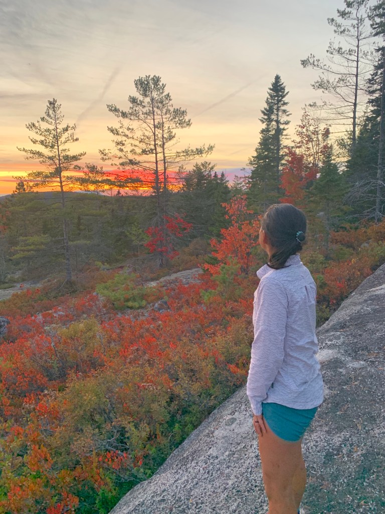
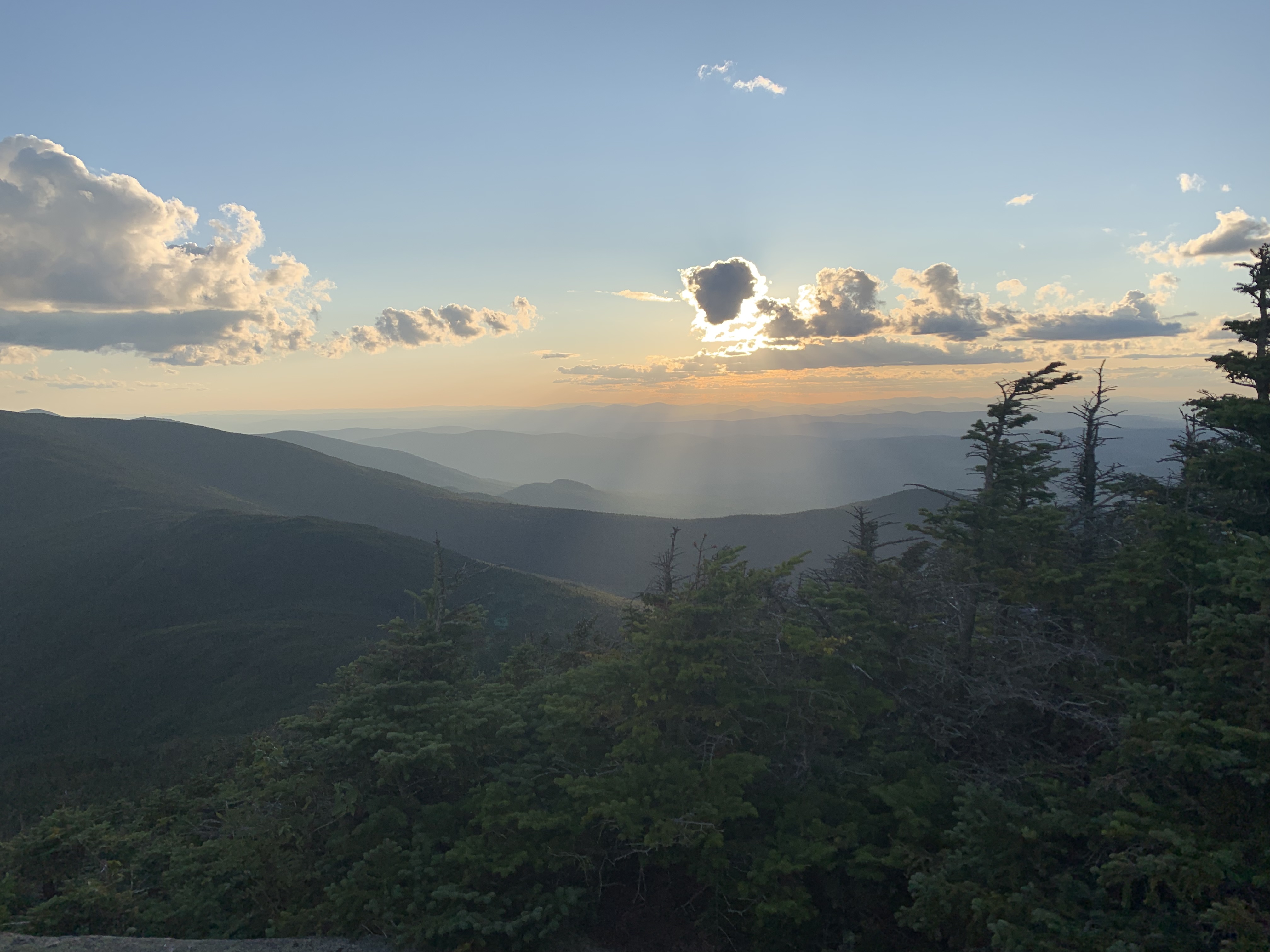
I came across a quote after the trail: “Expectations are the blueprint for disappointment.” On the trail, this meant that if I could detect an expectation, I might be aware that disappointment was possible. These expectations were often riddled with a hope — a hope closely intertwined with escaping my discomfort. Once we realized on the trail that our very discomfort was allowing us to do this beautiful thing, it became less about finishing and more about being: being outside, in the woods, with each other, and being so free because we’d chosen to have all of our possessions on our backs and go by foot for a long stretch across America.

It’s November. In Minnesota. Winter is long, and it’s cold. The days are short. And yet, this is where we are, and where we mostly choose to be. This is home, for now.
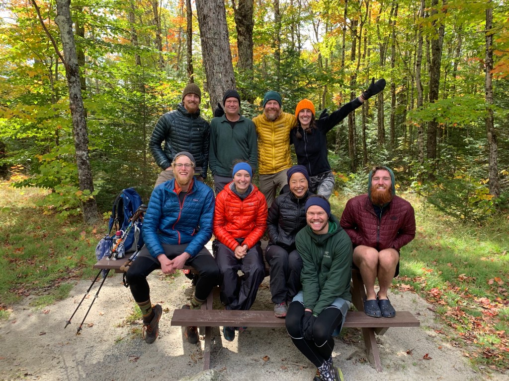
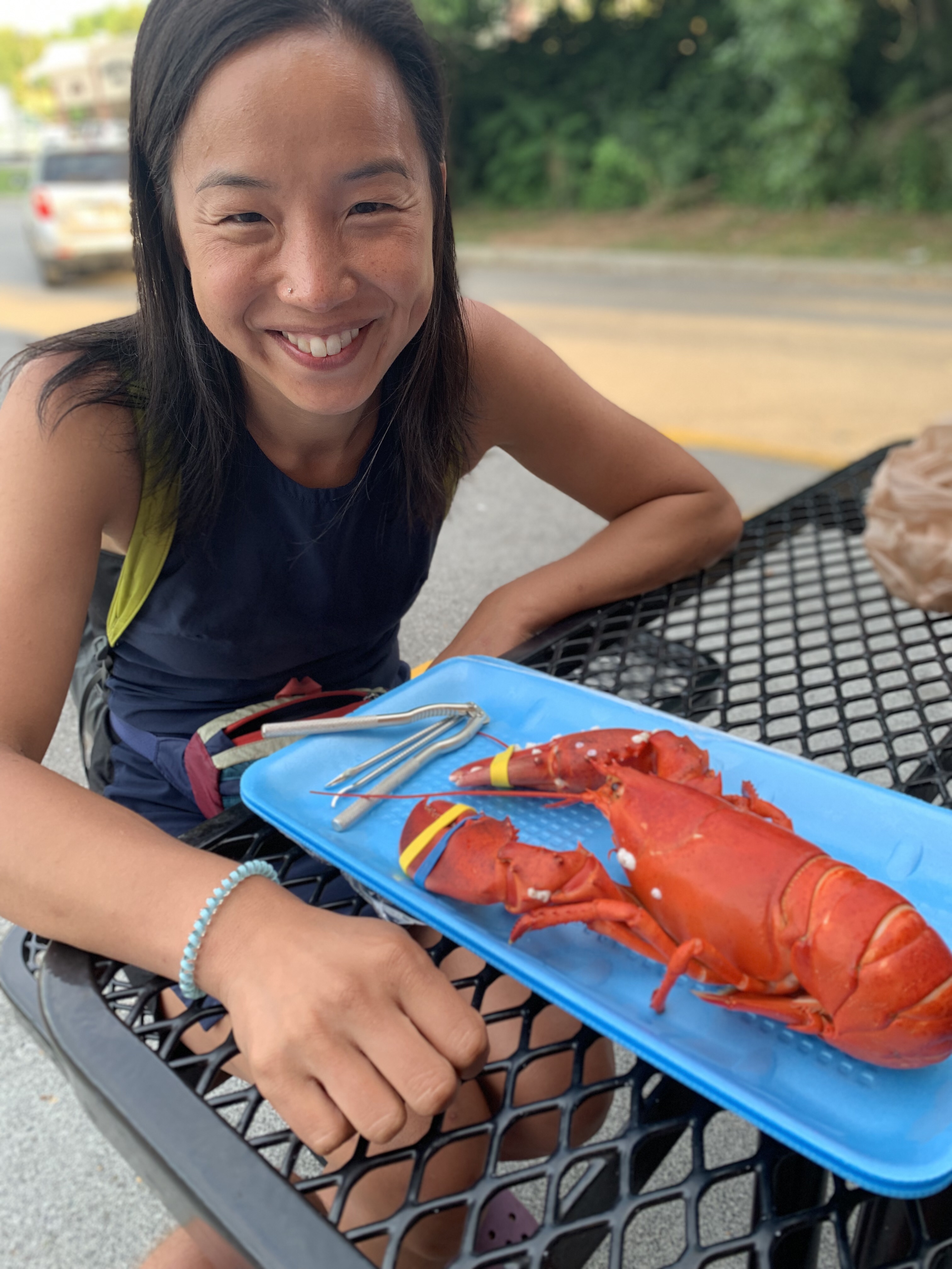
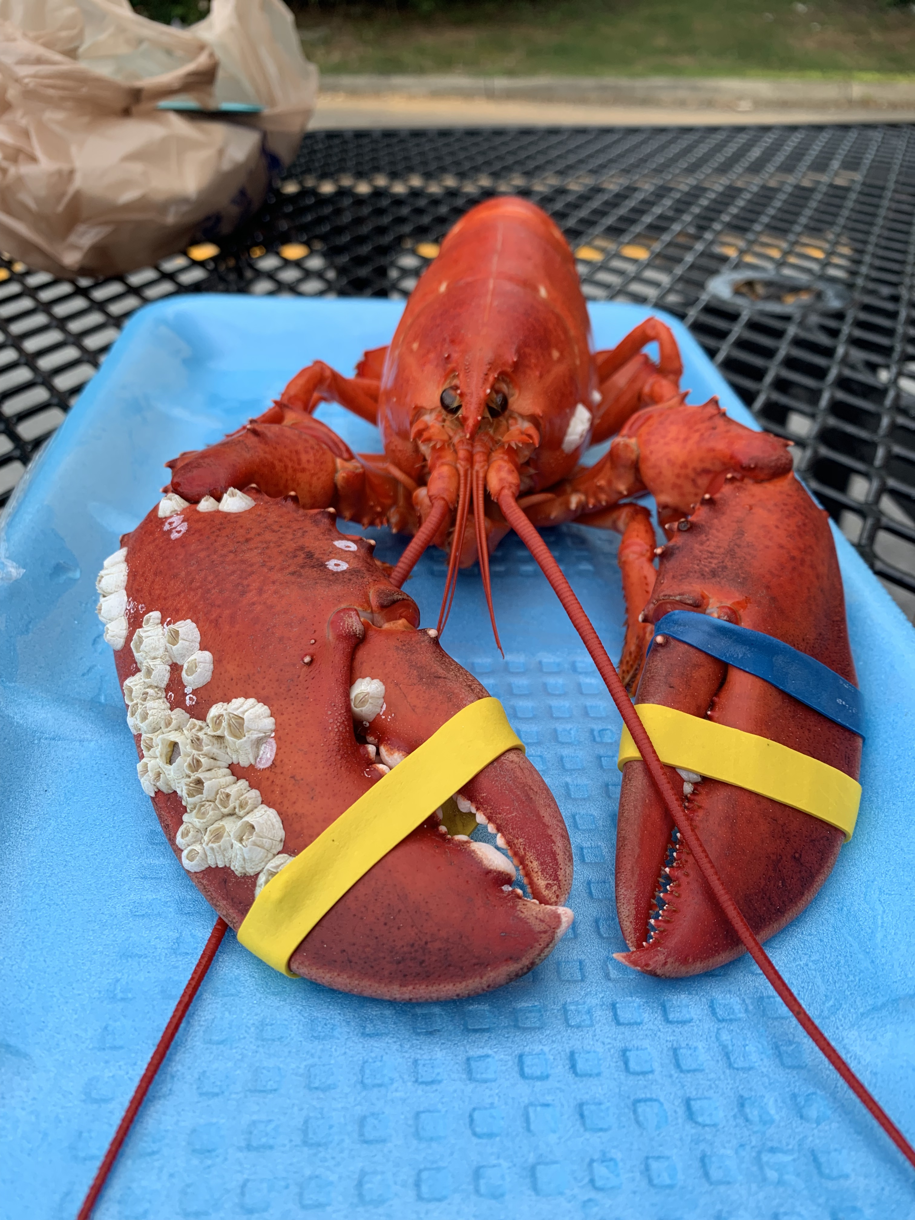
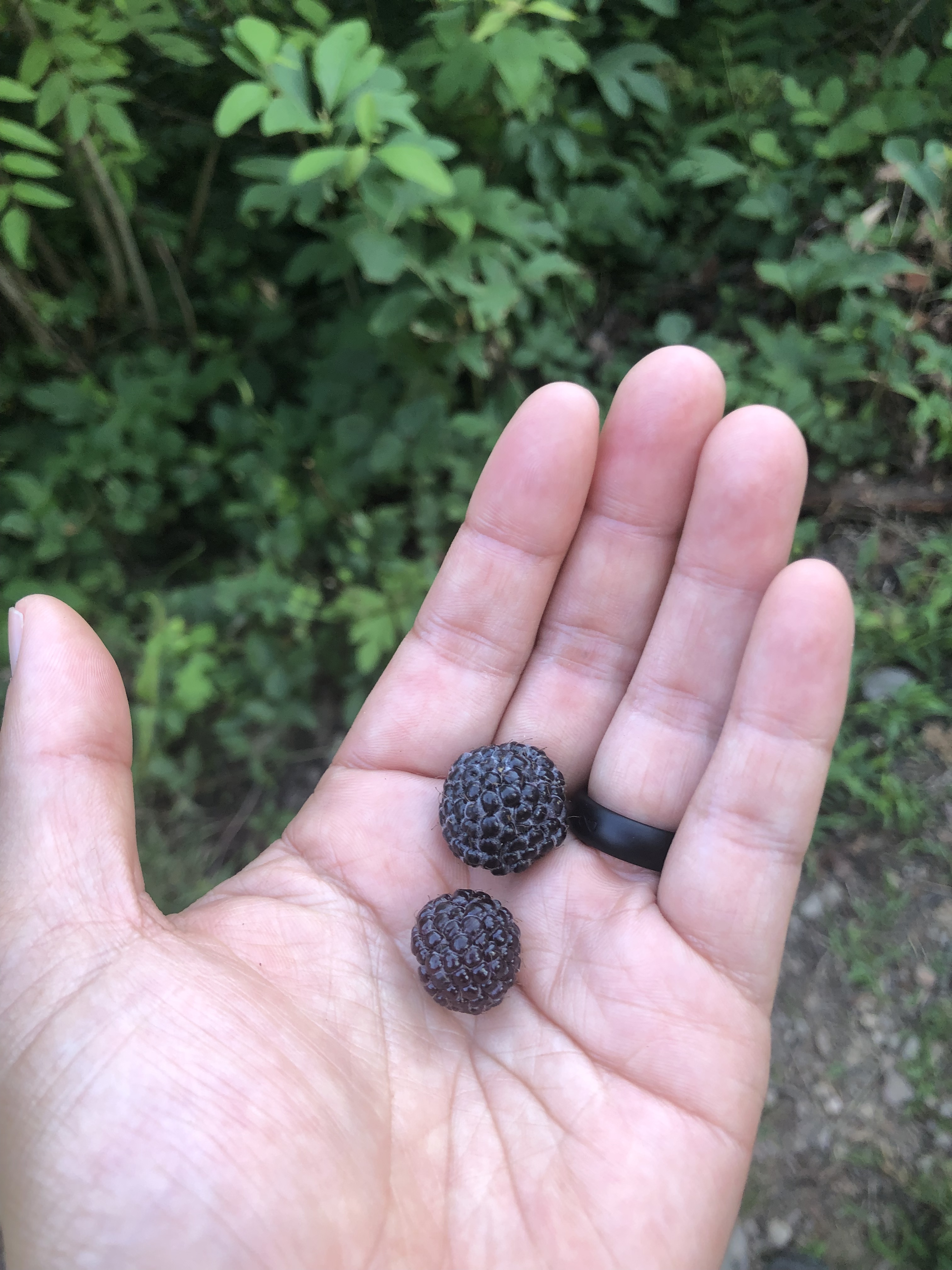
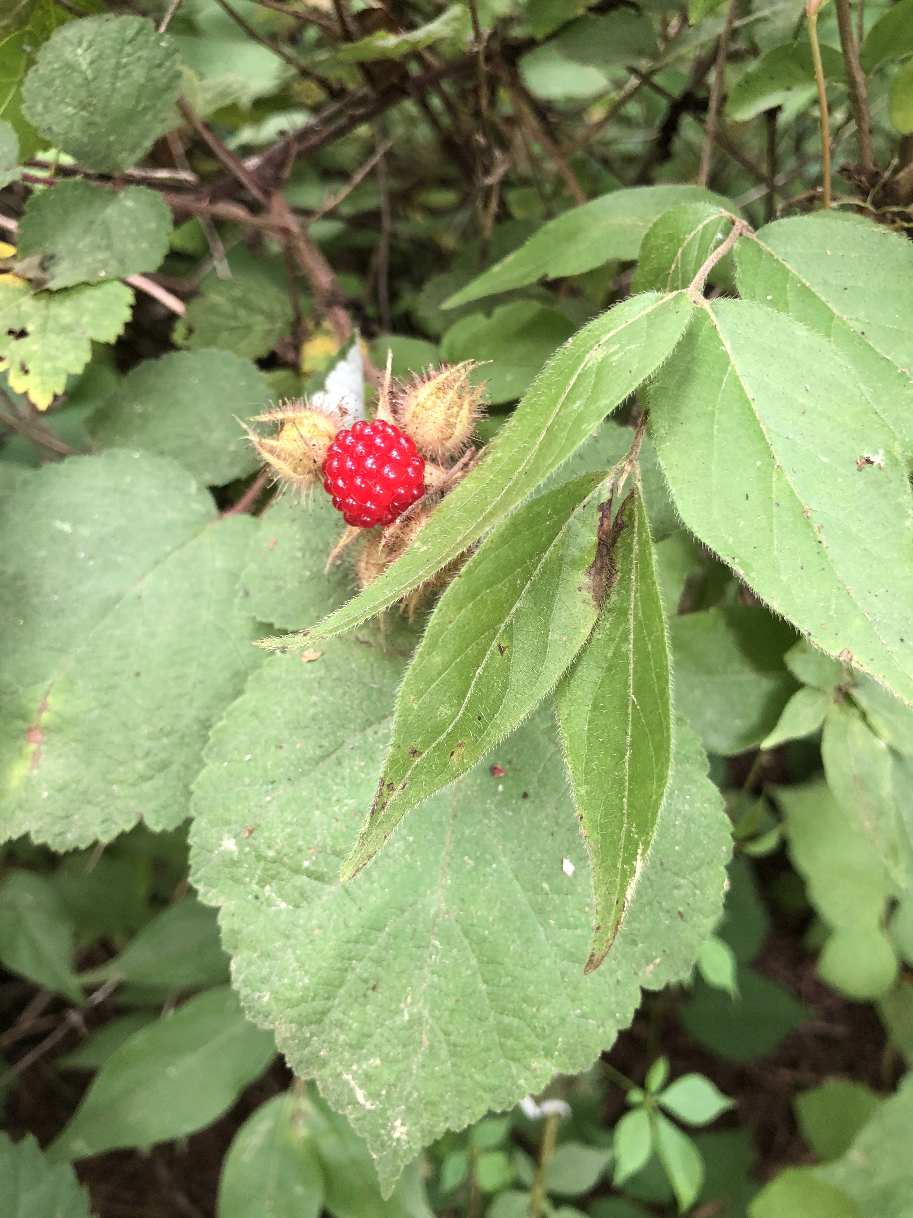
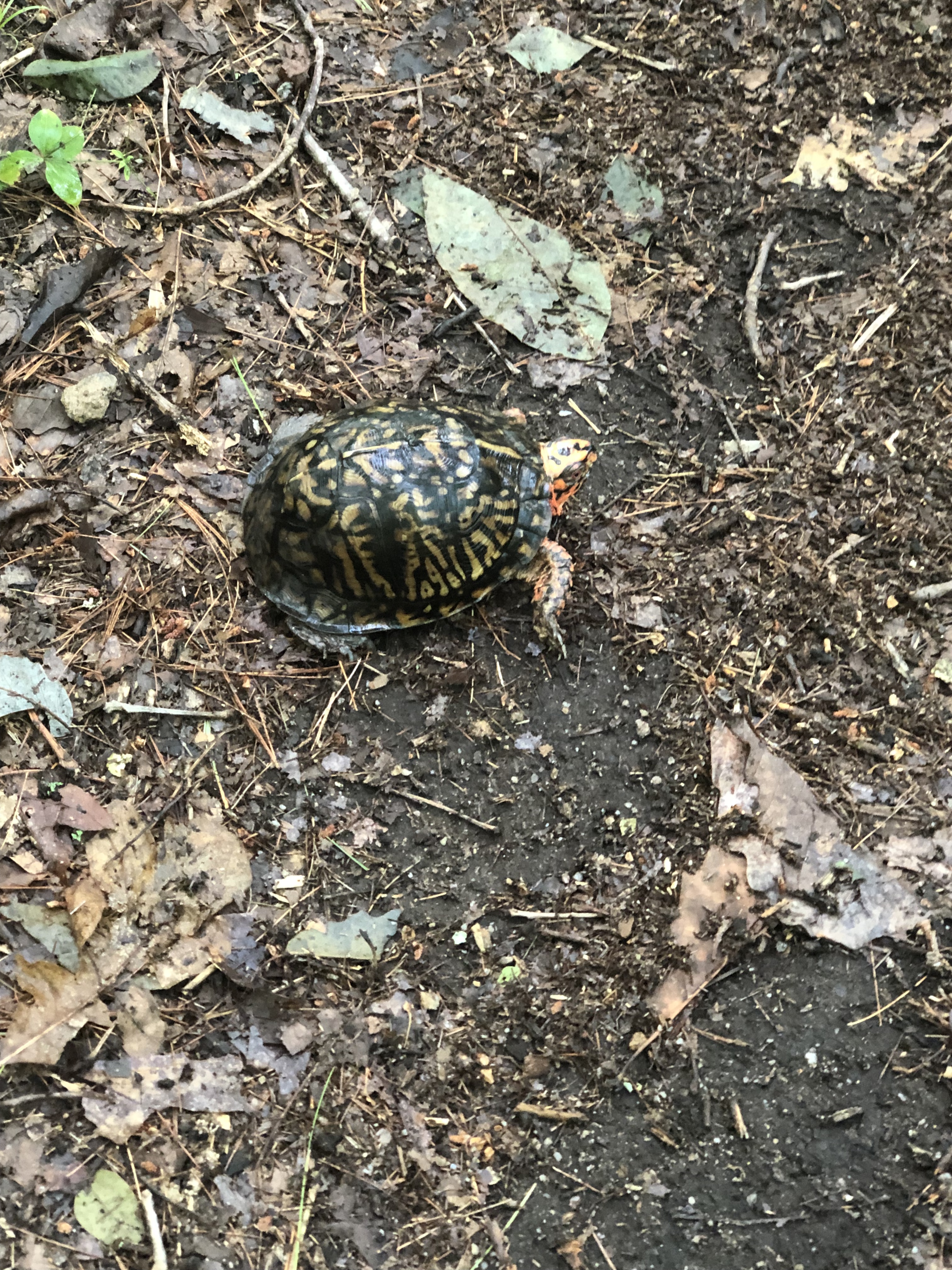
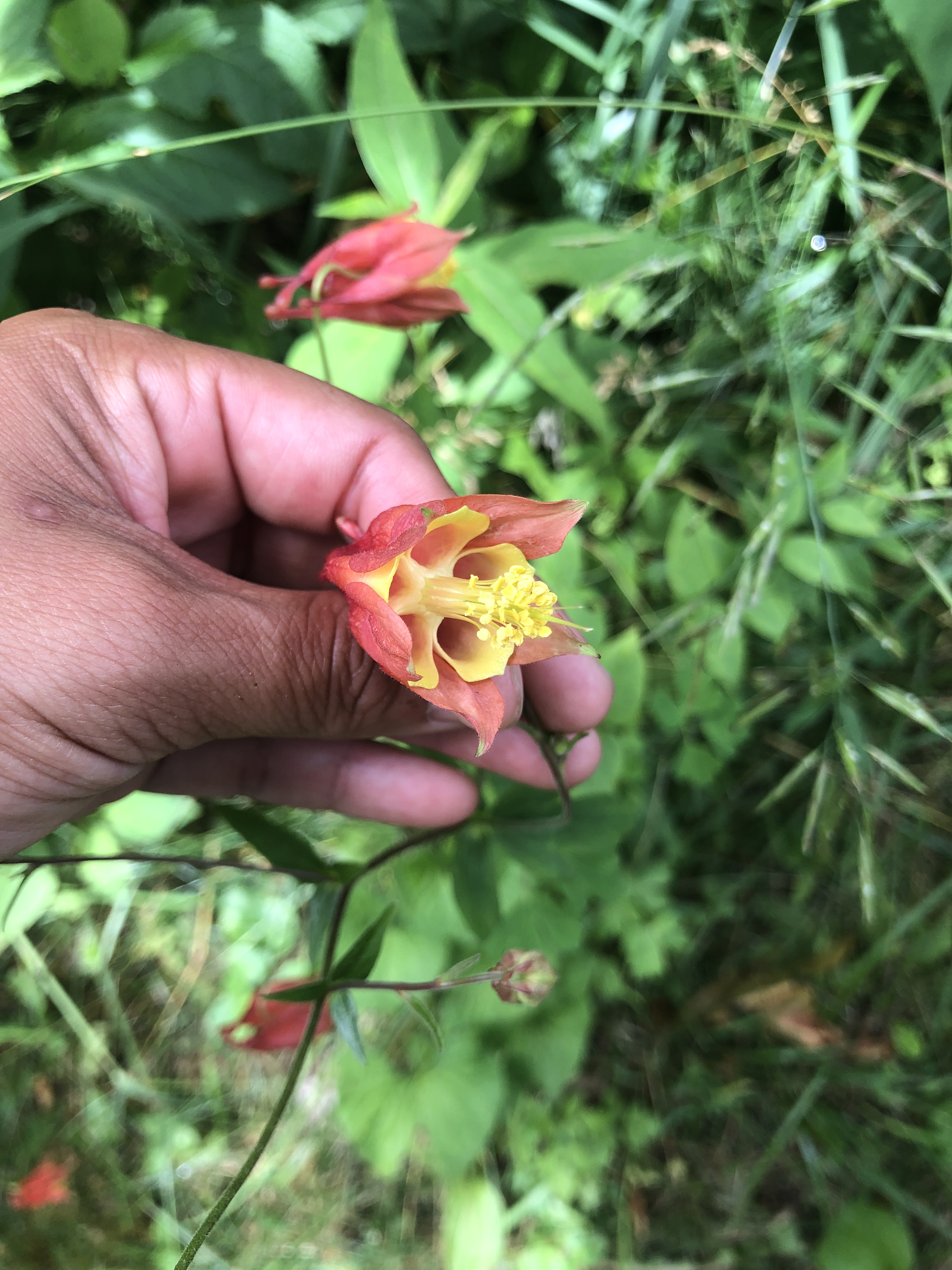
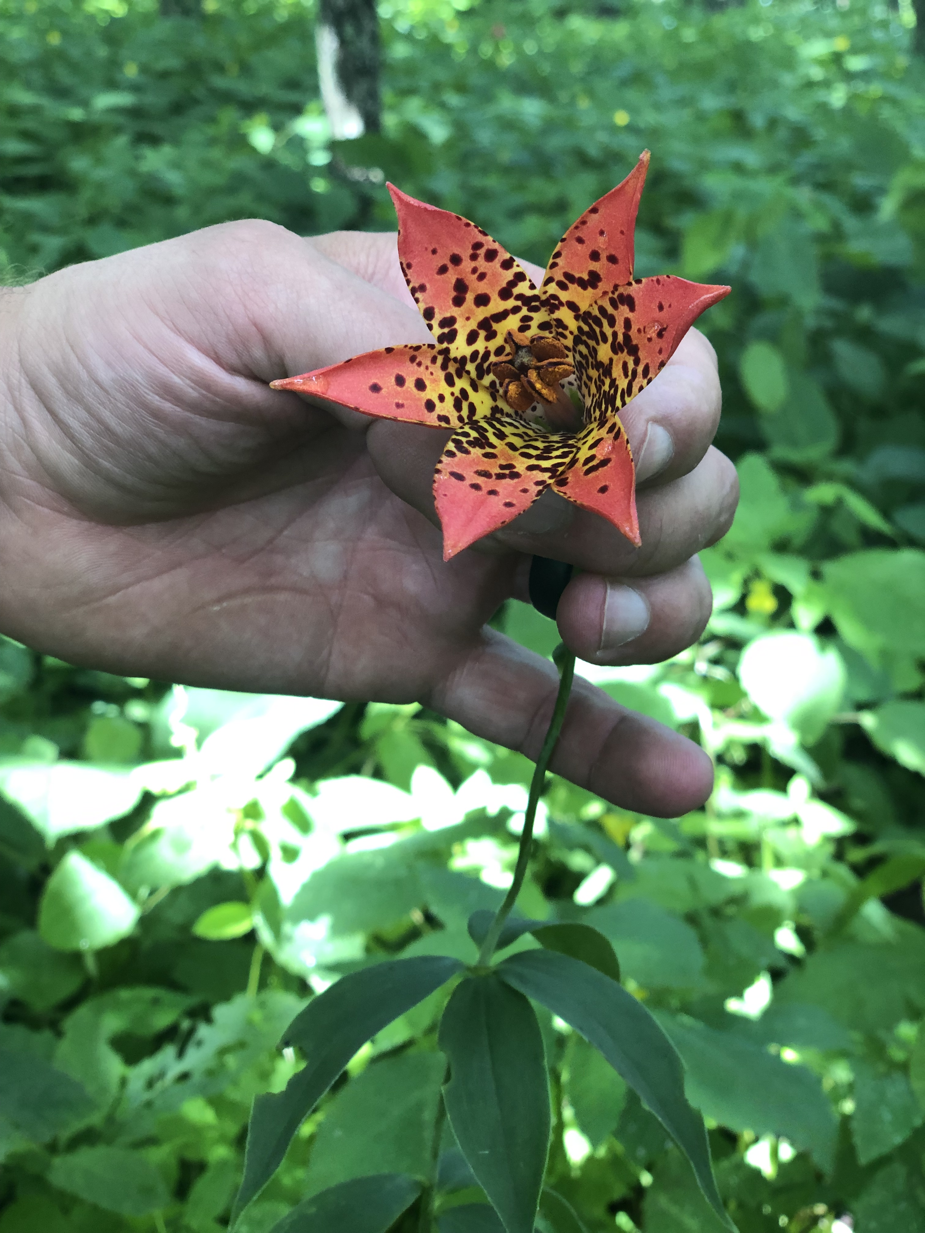
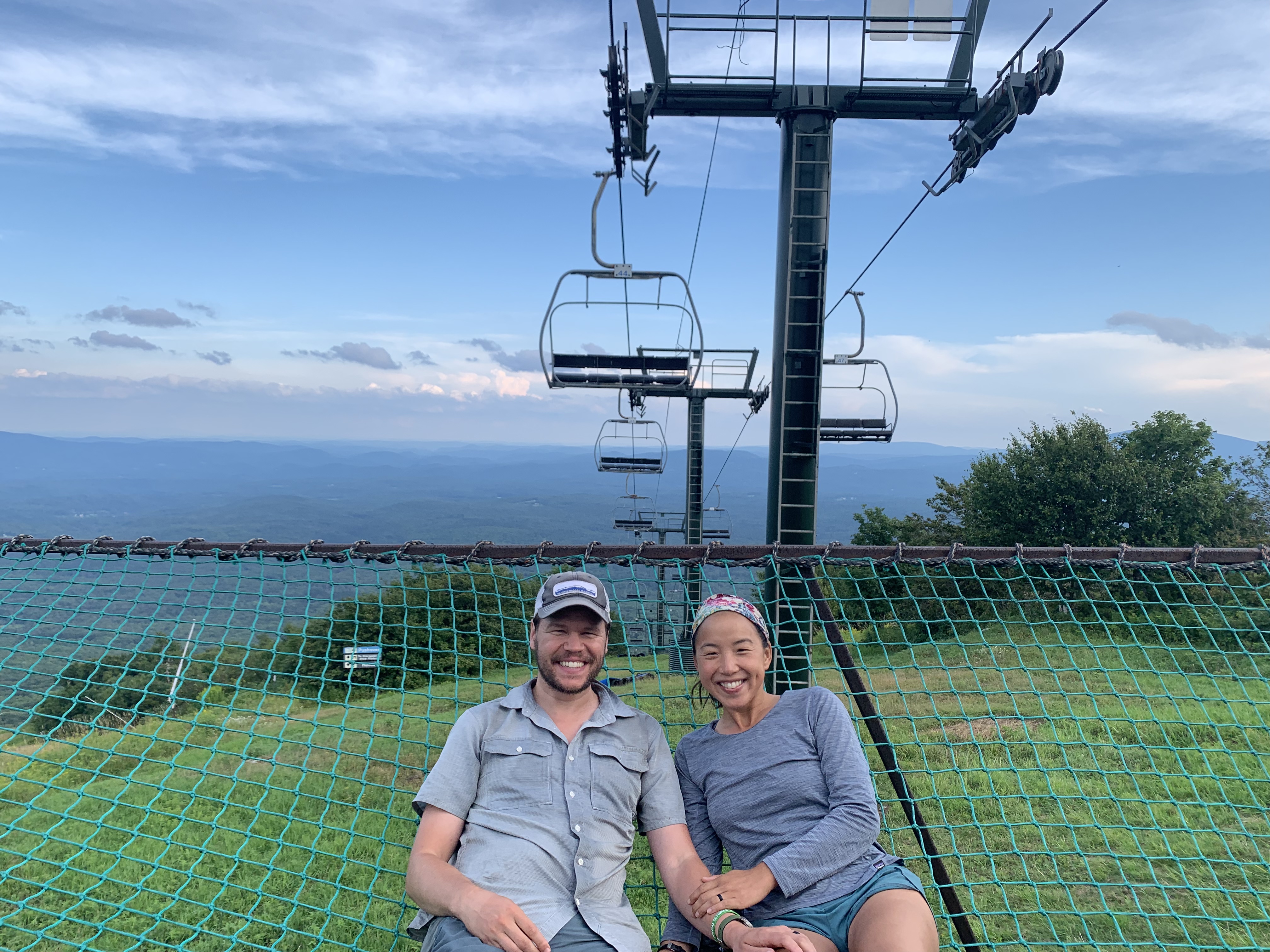
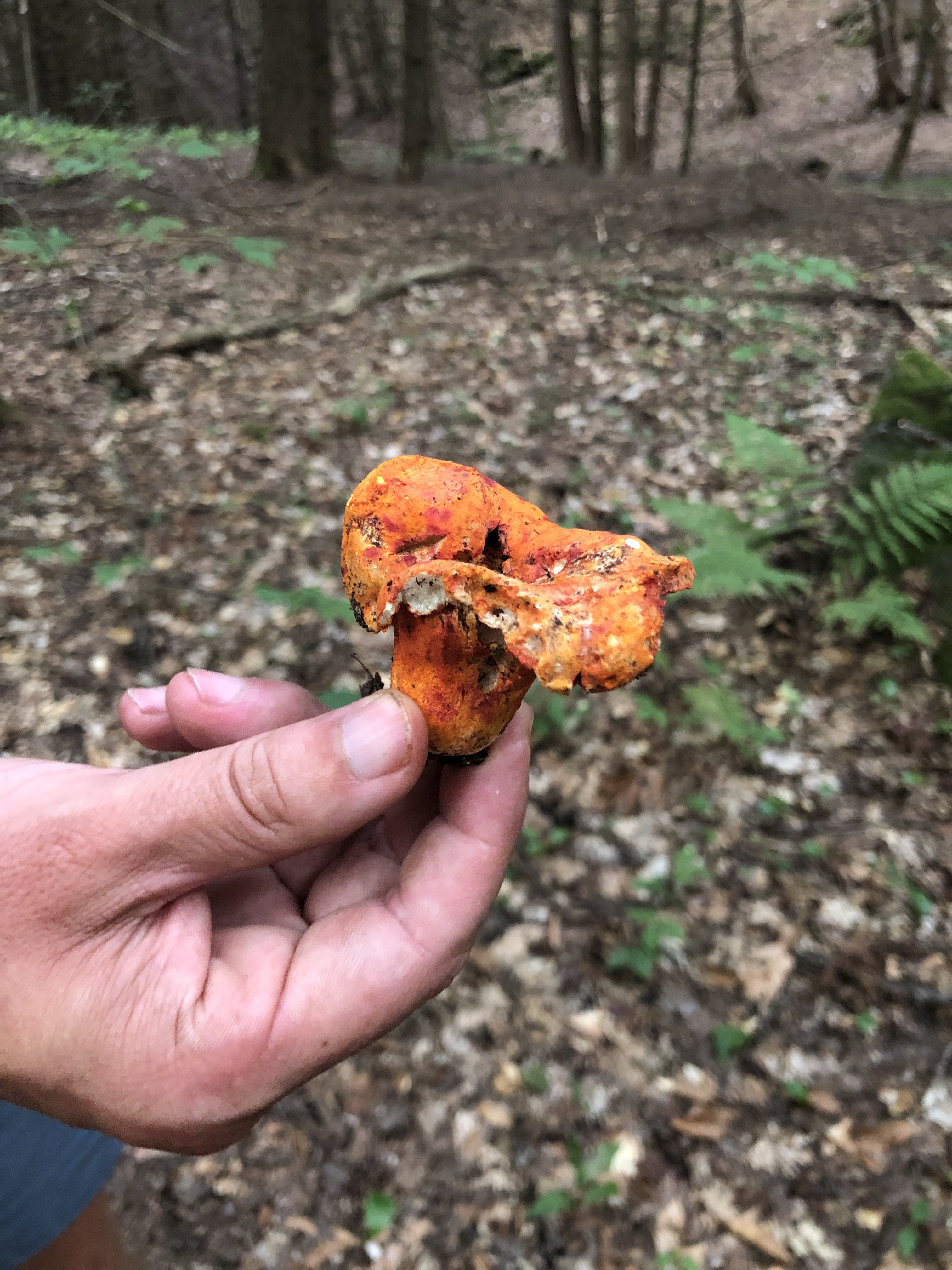
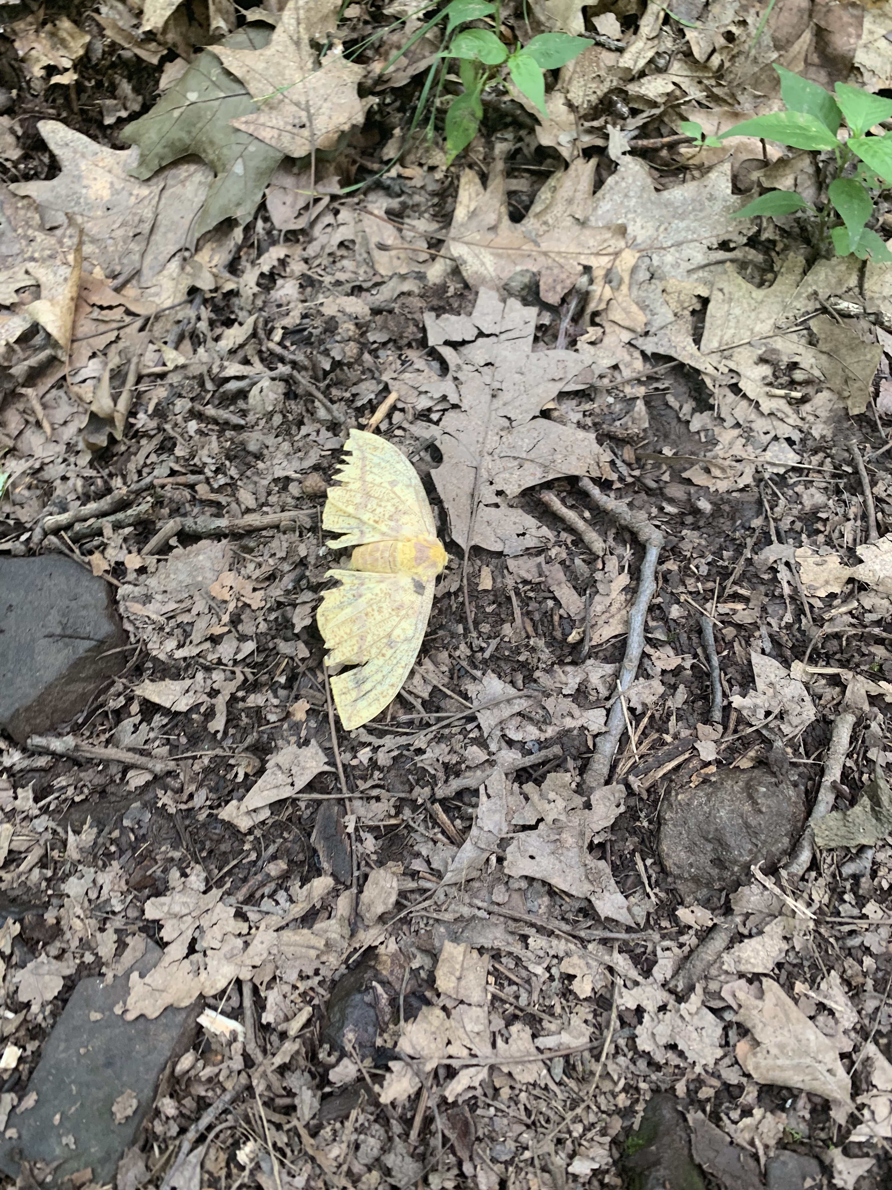
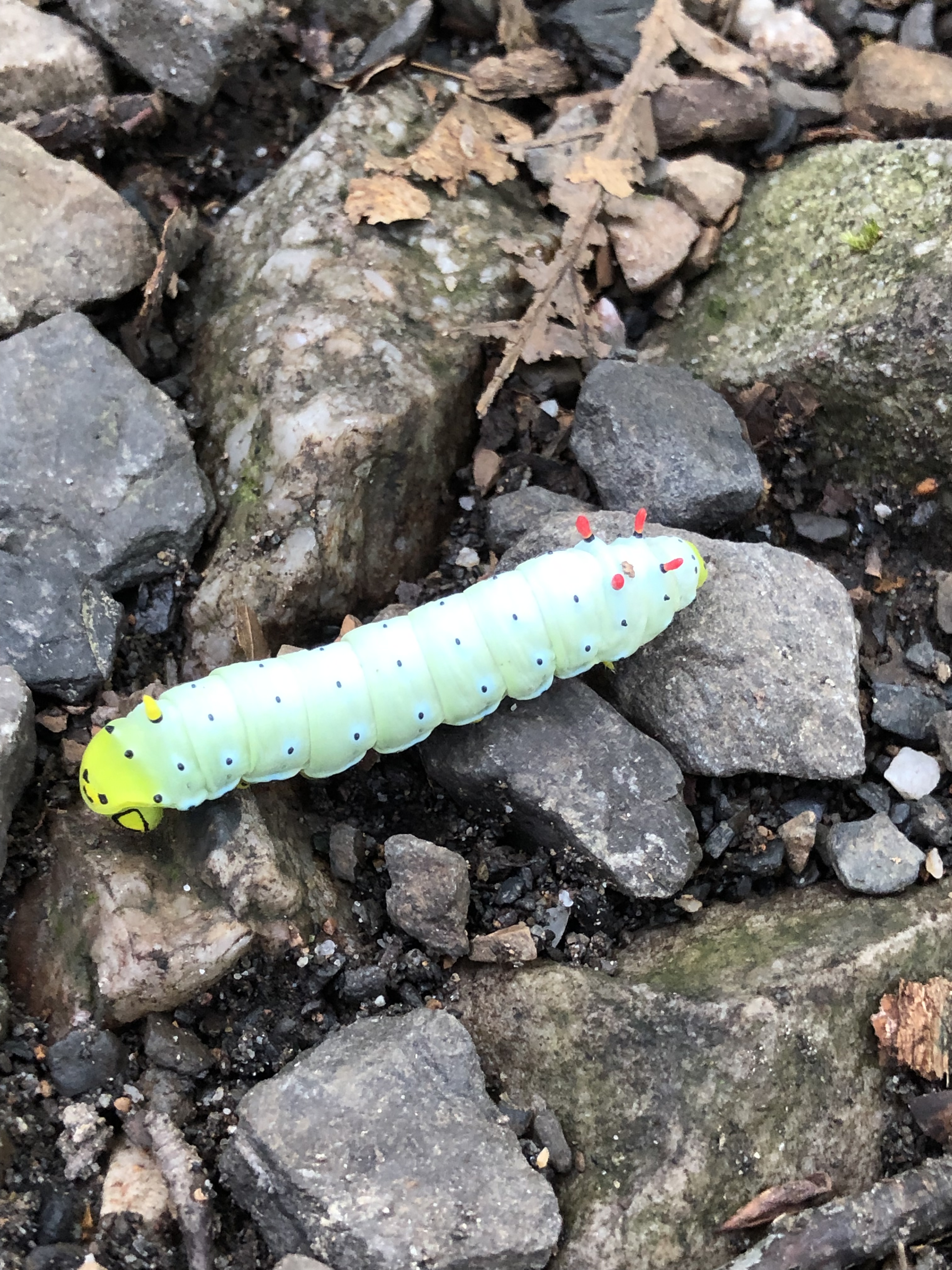
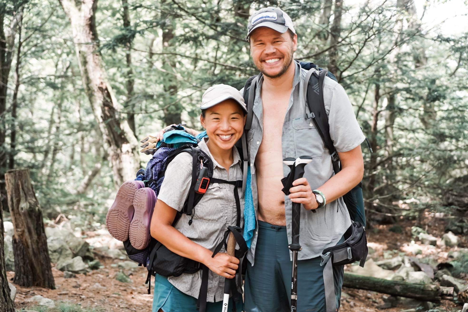
Featured

Mount Katahdin and beyond

We made it. We summited Baxter Peak on Wednesday, October 2, 2019 around 11am. Five months and eight days after starting from Amicalola Falls in Georgia, we arrived at the southern terminus – Mount Katadhin in Maine – and completed our thru-hike of the Appalachian Trail.

After the 100 Mile Wilderness, we wanted to be well-fueled and well-rested for our last day, so we spent the night at a hostel in Millinocket. This meant that our summit day started early at the Appalachian Trail Cafe in Millinocket around 5:30am so we’d have plenty of time to chow down a large breakfast of eggs, tater tots, breakfast burritos, and coffee with real cream before we shuttled back to Baxter State Park and the trail.

Through all of Maine, we had anticipated seeing a moose and on our way into Katadhin Stream Campground, Ole Man (owner of the AT Lodge, the main hostel in Millinocket) helped us spot this moose at Stump Pond. The large cow below looked more like a brown rock to us, with her head under the water.

Overall, our last day would be a relatively short day. The hike up Katadhin on the AT follows the Hunt Trail to the summit – about 5.2 miles with 4179 feet of elevation gain.

Before we started climbing, the day was relatively warm – in the 50s and cloudy. As we progressed up the mountain, that quickly changed and we quickly layered up.

By the time we reached the tree line, the wind became very strong, and I didn’t get any good photos of the scrambling section of our climb for fear of losing my phone in the rock crevices. It was a short section but definitely required as much shoulder and arm strength as we needed through Mahoosuc Notch.

The last of the white blazes en route to Baxter Peak

When we made it past the scramble, we reached a rocky, flat area known as the Tableland. I was still tired from climbing rocks, but this where John’s adrenaline kicked in and he started pushing the pace to get to the peak. I started to lag behind and I embraced the “Snail” part of my trail name.

It felt pretty surreal to reach this point, where we could see our last stretch. We had discussed this for months, with increased regularity through the 100 Mile Wilderness: whether we would make it here without trail-ending injuries or just getting fed up with the bugs in Connecticut and the heat in Pennsylvania, what would Mount Katahdin look like and feel like to hike on (we avoided online accounts and YouTube to retain some surprise for ourselves), and how we might feel again coming down from our last peak on the trail.

But like all parts of the trail, you’re just there and that moment doesn’t last too long. And so you do your best to be there and remember the brief respite we had from the lashing wind behind a very large boulder, the stop I made at Thoreau Springs (despite John’s excited anticipation for getting to the top), rock hopping through the puddles on the Tablelands, and that the rocks can still be pretty jagged and dangerous even on what appears a benign last mile to the summit.

And then we were there. The final sign that marks the top of Baxter Peak. For a thru-hiker, the sign is well-known and the target of months of hiking. Over the backside of the sign, there is a beautiful view of Chimney Pond, and to the side there is a small dedication of Mount Katahdin.

We found ourselves in a cloud sandwich on top of Katahdin.

We celebrated briefly, and then started the descent. The Appalachian Trail doesn’t count the hike up Springer Mountain, nor does it count the hike down Katahdin – but every thru-hiker has to do both. On our descent, we took the Abol trail where the clouds opened up and we caught spectacular glimpses of leaves and lakes below.

At the bottom of Abol, we met up with several hikers who finished with us.

From there, we went took a shuttle and a bus to Bangor, Maine the next day, where John and I picked up a rental car. We drove with two other hikers, Fastball and Scooby, to Portland, Maine where we indulged in hard-won lobster rolls and gigantic ice cream cones.

On trail, we had a lot of practice. We practiced hiking and backpacking, ascending and descending mountains, eating out of ziplock bags, and setting up our tent in all conditions. We practiced being aware of and managing our expectations and our discomfort. There were many times we didn’t think we had expectations for what a section or a day would be like, but of course we did. We practiced sharing an experience with many people who all approach hiking and backpacking and camping in their own unique way. We practiced giving and receiving.

John and I spent 163 days on and around the trail, walking most of the estimated five million steps together, living in twenty-nine square feet, and carrying about 45 pounds of gear, food, and water between the two of us to live. Hiking the trail from start to finish is one accomplishment. By the end of the trail, we had our backpacks winnowed down to the bare essentials and everything had its place. We became masters at logistics, planning, and dividing up camp chores. We had learned more than we ever thought possible about our differences in pace and approaches to hiking and communication styles.

And now we are home. Our shoes don’t quite fit how they used to. Our feet are still tender from the many miles we’ve hiked, and our bodies and minds are not yet used to sitting in front of computers. Our wedding is approaching, and our talk has shifted from where we’ll find water to how to start our own business.

Being home requires reintegration. When we first started hiking, we started with low miles, around eight a day, and slowly increased to 20+ mile days. Similarly we need to lean slowly into life at home and acquaint ourselves with this new home and work experience. The trail changed parts of us; it added to who each of us is and who we are as a couple. So for now, we’re still caught somewhere between home and trail.

And that’s okay.

Featured

#14: Maine

One of the architects of the trail was Myron Avery who also happened to be a Mainer. He helped to ensure that the trail, when heading northbound, ended in Maine, which has 281 miles with some of the best trail, views, woods, and lakes the entire AT has to offer. Maine is pretty fantastic!

We arrived in our fourteenth and final state on September 7 a bit battered from our hike through the Whites. We’d heard a lot of trail talk about how challenging the first couple of days in Southern Maine would be, and so we braced ourselves for Mahoosuc Notch “the hardest mile on the trail.”

If you’ve read John’s post on Pennsylvania, you are familiar with our rock rating system. Mahoosuc Notch felt like a 4++: a pure scramble across, up, and underneath boulders at the base of a mountain. Additionally, we had heard repeatedly, “don’t do it in the rain!” and of course there was a cold drizzle when we set out that morning.

We were still hiking with Tadpole and Survivor and ended up having a good (albeit tiring) day of very challenging hiking. The bulk of Mahoosuc Notch felt like a rock jungle gym. We spotted each other, helped move backpacks through narrow crevices, and worked together slowly through the Notch. The total mileage for the day was 9.7 miles, and it probably took us a solid 11-12 hours to get through the Notch, up the Arm, and up and down Old Speck. Hands down: the most physically challenging day of hiking.

It helped to know that we had an eight day respite from the trail. We planned to leave the trail at Grafton Notch to visit John’s parents in Atlanta and then attend a wedding in Minneapolis. (This was our second trip off-trail; we also spent two days in DC when we arrived in Harpers Ferry.) This time we left our backpacks and poles at The Cabin, a hostel in Andover Maine.

We welcomed the break from the tough terrain. We both had a cold and slept even more than on trail while we were in Atlanta and St. Paul. By Day Five, though, we were ready to return to the trail, especially knowing we had one of the best stretches of trail ahead of us.

When we returned from the trail, we enjoyed a couple of days staying at and slackpacking (day hikes) from The Cabin, which turned out to be one of our favorite hostels on trail. Honey and her late husband Bear have hosted hikers for years, including AT celebs like Earl Schaffer. Honey’s brother was deeply involved in creating the trail in Maine as we know it today. And Hopper knew the trail better than anyone we had met on trail. She could tell us exact spots to get cell reception so we could call them and have a just in time pickup at the trailhead. The two of them made hiker hunger sized dinners and breakfasts and seemed genuinely invested in the hiking community and each thru-hiker who visited them. We also met Odie, of AT yearbook fame, who was helping out for a few days.

Also, at this point, we didn’t have many more days that were as challenging as our Mahoosuc Notch / Mahoosuc Arm / Old Speck day. We did decide that we wanted to finish in time for John’s Tuck reunion, which started on October 4th. We made two plans: one for finishing on October 2 and one for October 3rd. It involved no days off, some 18+ mile days on easier terrain, some 15-17 mile days with a fair amount of elevation gain. Everything is relative on the Appalachian Trail, though, and I have to say that most of these days still felt like a relief after the Whites and Mahoosuc.

Cloudy views on Baldpate
Rooty terrain in Maine

Maine has a number of lakes, ponds, streams, and rivers. We camped one night on Eddy Pond with the hope we’d spot a moose at dusk or dawn, but had no luck.

Eddy Pond. Not pictured: Maine moose.
At Height of the Land with a view of Mooselookmeguntic Lake
Days were much shorter in Maine.

People often ask us where we’d recommend they “try out” the Appalachian Trail. And I’d say, most of Maine is worthy. Specifically, a weekend hike over the Bigelows or a longer section like the 100 Mile Wilderness in 7-9 days would be a spectacular introduction to the trail. We were in Maine in September when it was cooler, few to no bugs, and the autumn colors were beginning to pop – an ideal time to visit Maine. Also, fungi is at its peak by in the fall.

Other things started to feel real when we arrived in Monson, Maine, the last town before the 100 Mile Wilderness. This is our last resupply! Our last set of tortillas and tuna packets! Our second to last hostel! Our last mountain before Katahdin!

The 100 Mile Wilderness is the longest stretch of trail that doesn’t have a major road or town nearby. Don’t be fooled though: there are still many forest service roads used for logging that intersect with the trail. Yes, it’s pretty remote but not as remote as we thought it would be. With six days of food on our backs, we carried more food through this section than any other . . . except for at the beginning when we had that infamous jar of almond butter and didn’t yet know what we were doing. Reaching the 100 Mile Wilderness, the end becomes very tangible. 115 miles left! Just 100 miles until Abol Bridge and Baxter State Park. Beyond that, one hikes just 10-ish miles to the start of the Hunt Trail. 5.2 miles later, you find yourself at the northern terminus of the trail.

Plus, in the 100 Mile Wilderness, you can begin to get your first glimpses of Katahdin.

Even with all of the excitement of being “almost done,” we tried to stay focused on enjoying our last days on trail, knowing that the simplicity of the trail is one of its greatest gifts.

Featured

New Hampshire: friends, the Whites, and a beaver

In September of 2012, I arrived in Hanover a bright eyed and bushy tailed 20-something ready for the start of classes. Seven years later, I now return with Jess bruised, battered, and feeling my age. Not quite the typical picture of triumph, but hey, we made it, and for our efforts we were greeted by a beaver and friends with lemonade and washing machines. Nick and Shafika, you two are amazing!

The beaver while technically still in VT is getting credited to NH for the sake of this post. This little guy (picture courtesy of The Smithsonian as we forgot to snap a pic) was slapping his tail all over the White River.

The Whites

We had heard a lot about the Whites. That is the mountains not the overwhelming majority of people who we’ve seen on the trail. The racial makeup of the AT hiking community is more monochromatic than a hockey game in Minnesota. We’d been told about their difficulty, “When you get to New Hampshire, you’ve done 75% of the miles but only 25% of the effort”; their majesty, “Nothing beats the views of the Whites”; and their weather, “Worst weather on earth”, but like a kid about to drive for the first time, we didn’t really understand how totally the Whites would mark a change in our hike.

That’s some hard trail…

…but the views (and other cool flora/fauna) are so worth it…

…as long as we don’t get blown off the Mountain!

New Friends

Meet Tadpole and Survivor. Tadpole is truly one of the most positive people we’ve had the pleasure to met on the trail, and Survivor is always around for support in dangerous situations and, true to his name, never gives up. We had a blast hiking through most of the Whites together.

Serendipities on Trail (and a MA and VT update)

At times, it seems that our world expands on trail, opening into the wide, expansiveness of the trail (“When will we reach that road/trailhead/town?!”) and other times, like in Massachusetts and Vermont, it has felt like we are just one or two degrees separated from people who seem like strangers.

Serendipity #1

One of the first towns you visit in MA on trail is Great Barrington. I hadn’t been to it, but was looking forward to visiting because I recalled that Orion Magazine, a magazine I like, operated out of this town. We celebrated John’s birthday here with pizza and carrot cake, but didn’t want to stay long because the “budget” hotels were over $200/night. Another thing is that these parts of New England have almost no hostels. But there are a handful of private homes and owners who let hikers stay with them.

This is how we found ourselves with Jess Treat. Her lovely, cozy home is in Sheffield, just a short drive from Great Barrington. Through conversation, we learned that she was published by Coffee House Press before my time (in the ’90s). She runs a bed and breakfast for hikers, and we stayed with her for two nights and enjoyed a couple days without our packs, blueberry pancakes, and her company as well as her friend Heath’s.

We found ourselves climbing mountains again. Yes, these are small mountains but after so many miles of pretty easy trail, we had to re-engage our muscle memory for ascending Greylock.

The upside to all of this climbing is the forest. The change from leafy and muddy spaces to mossy, coniferous forests is something we look forward to every time our muscles start yelping with fatigue. The moss is so thick it feels like carpet or velvet, and it is teeming with life-critters and bugs, mushrooms, ferns, and plants.

We made a short visit at the residence of “the cookie lady,” just outside Dalton, MA. John helped her water her flowers (she had recently broken her clavicle), and we both ate some cookies and picked blueberries.

In North Adams, we trekked a full 0.6 miles off trail to score a breakfast and pack out a lunch at Renee’s. After a short chat with a couple at the diner, we later learned from the waitress that they bought us breakfast. Trail magic is amazing!

We made it to Vermont that same day, on August 15. With just three of fourteen states remaining, the end of the trail started to seem tangible.

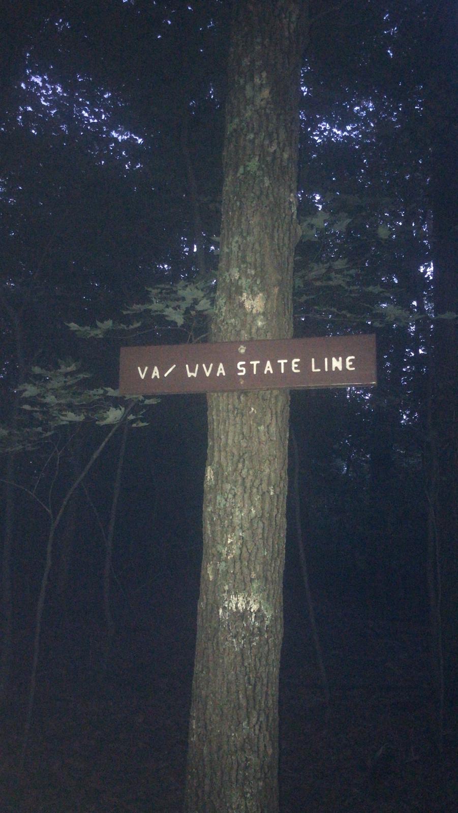
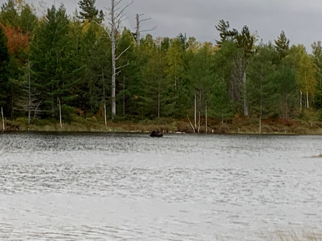
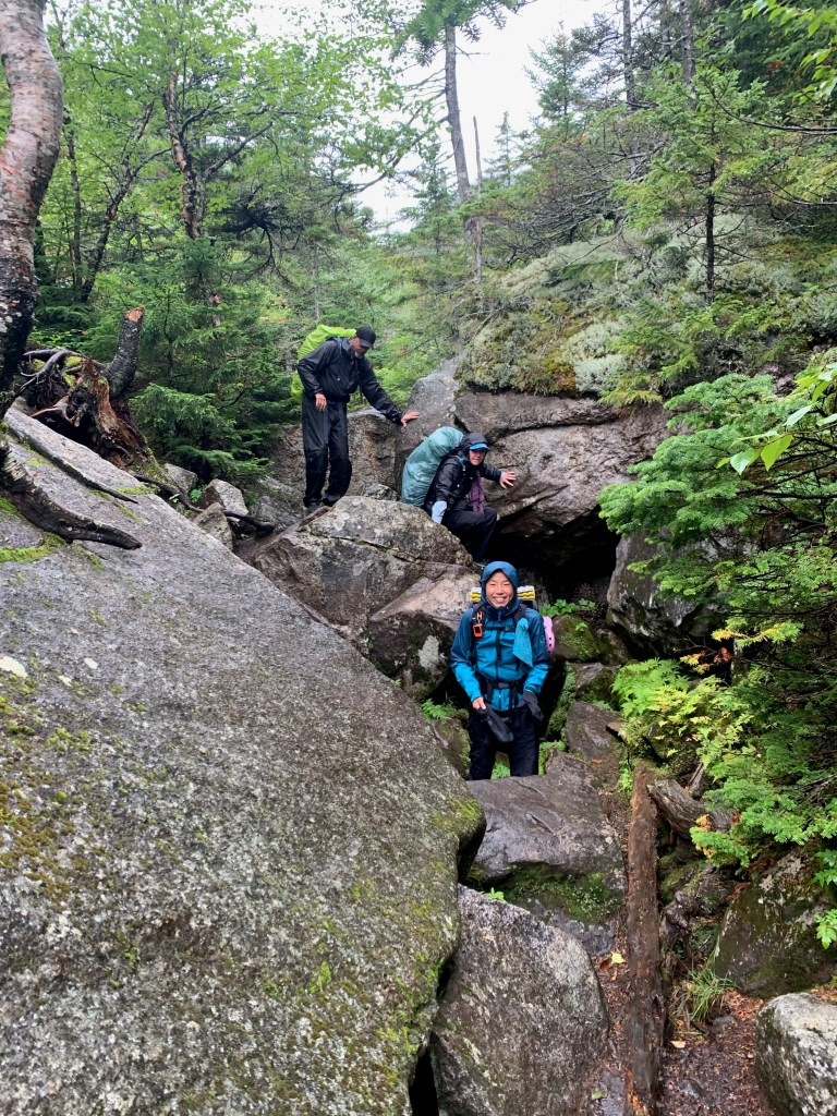
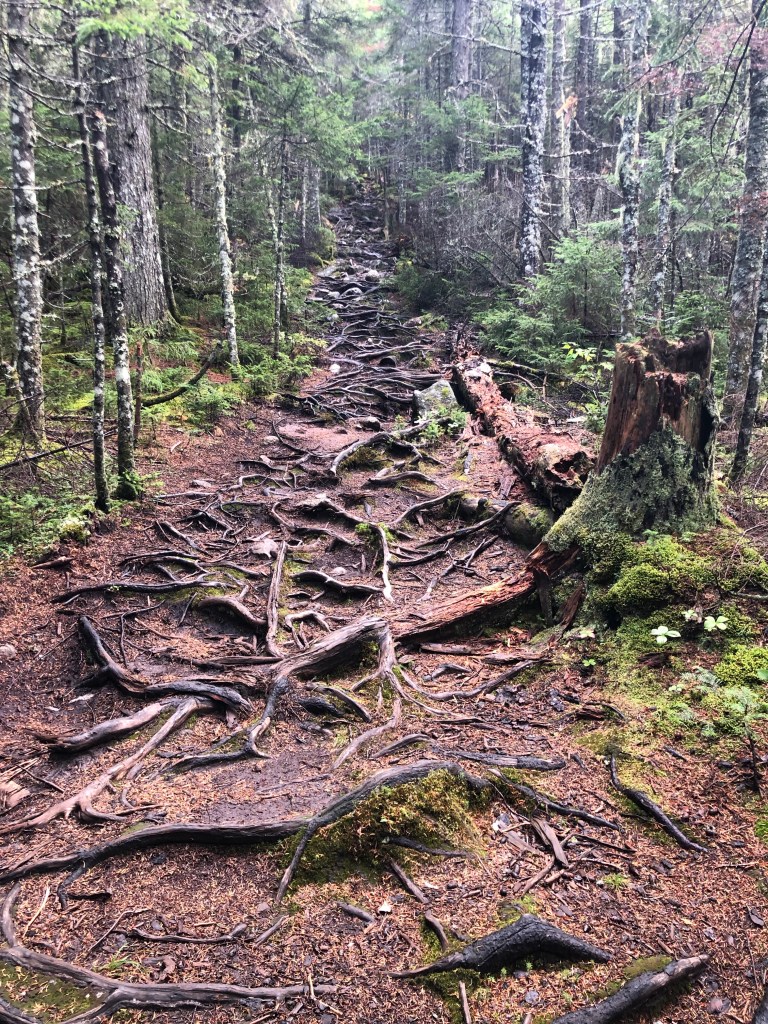
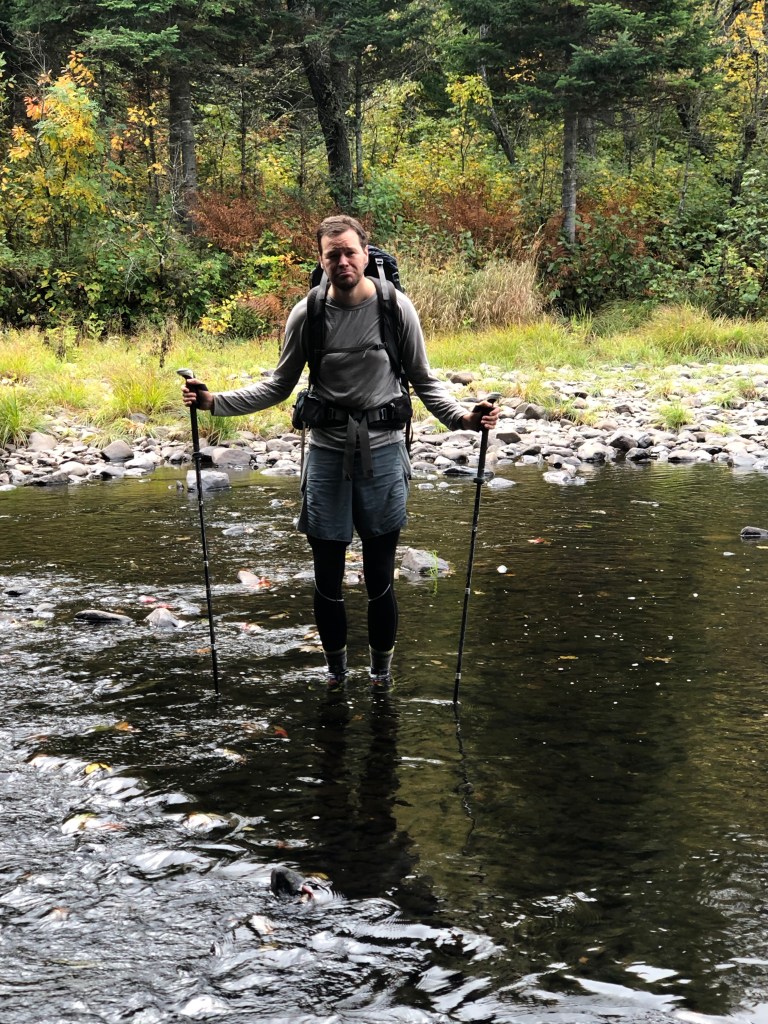
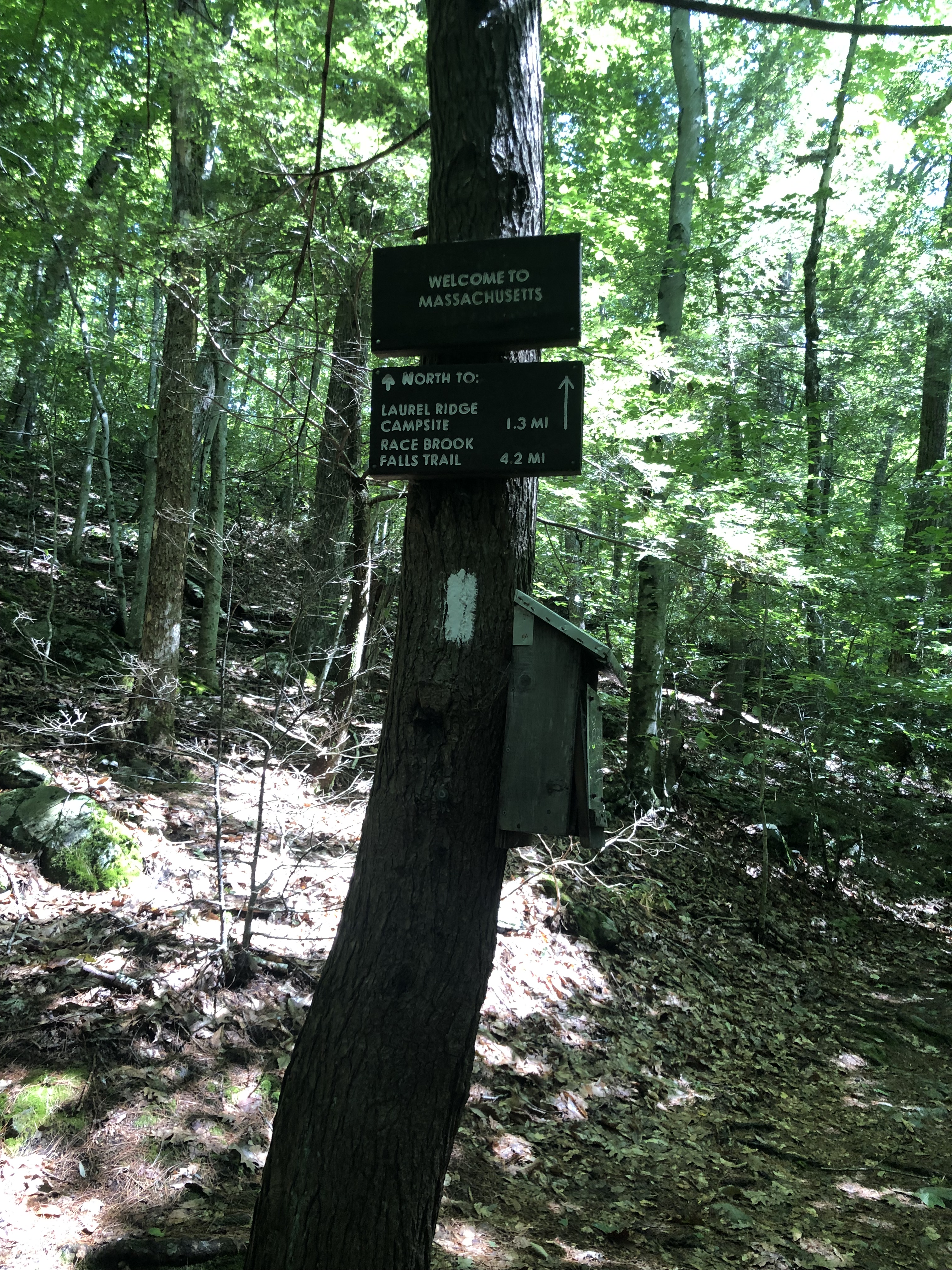
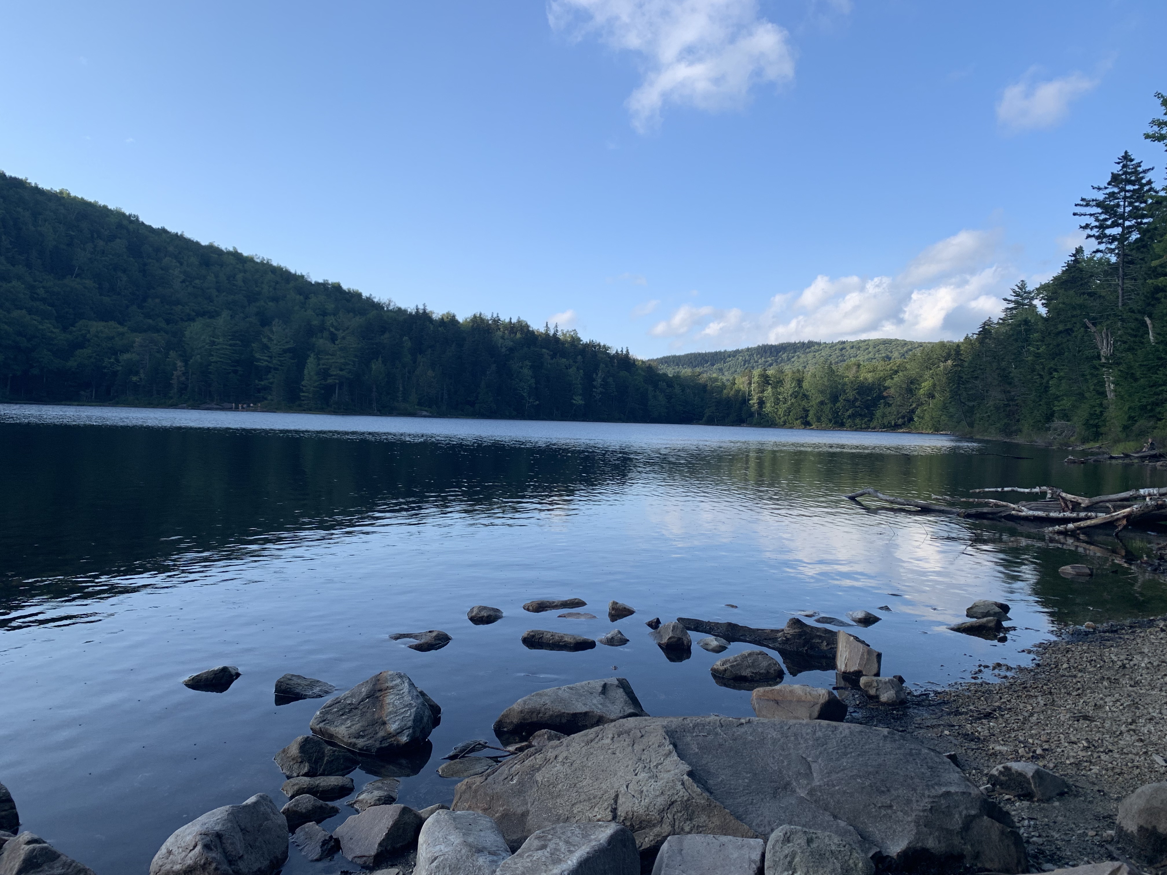
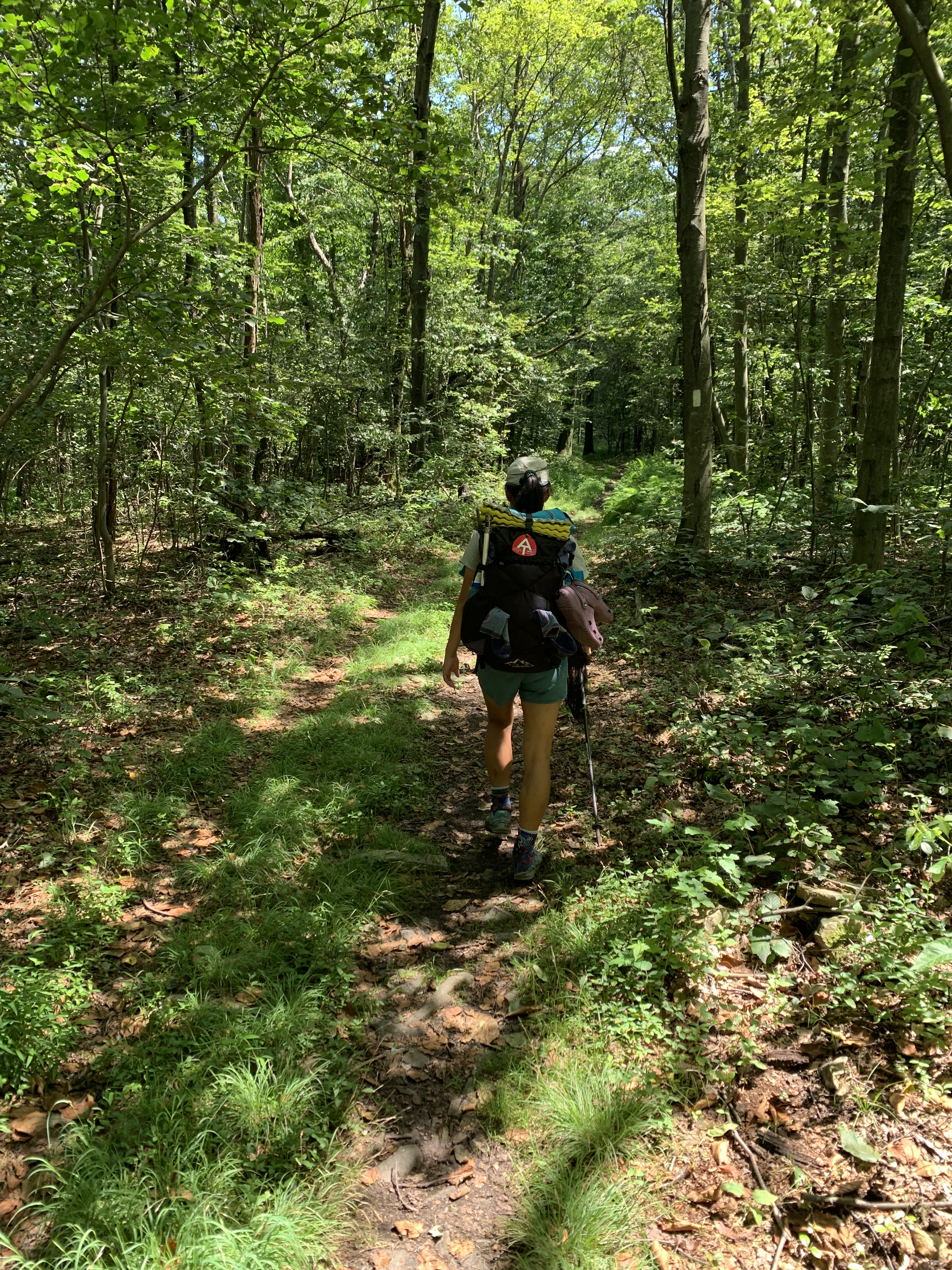
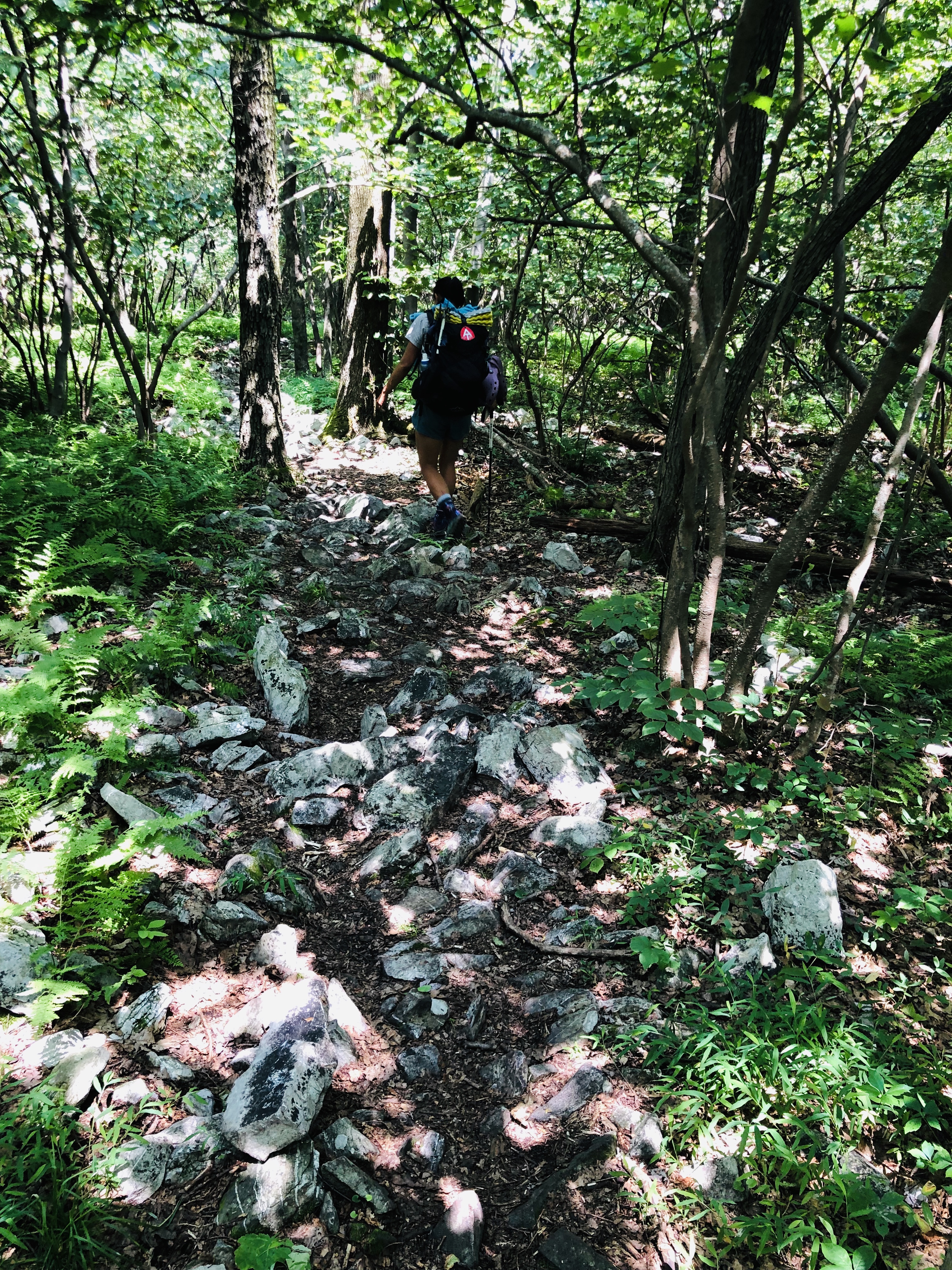
Then we met the Vermont mud. The first forty or so miles were some of the muddiest we have had so far (though we hear Maine has a lot in store for us).
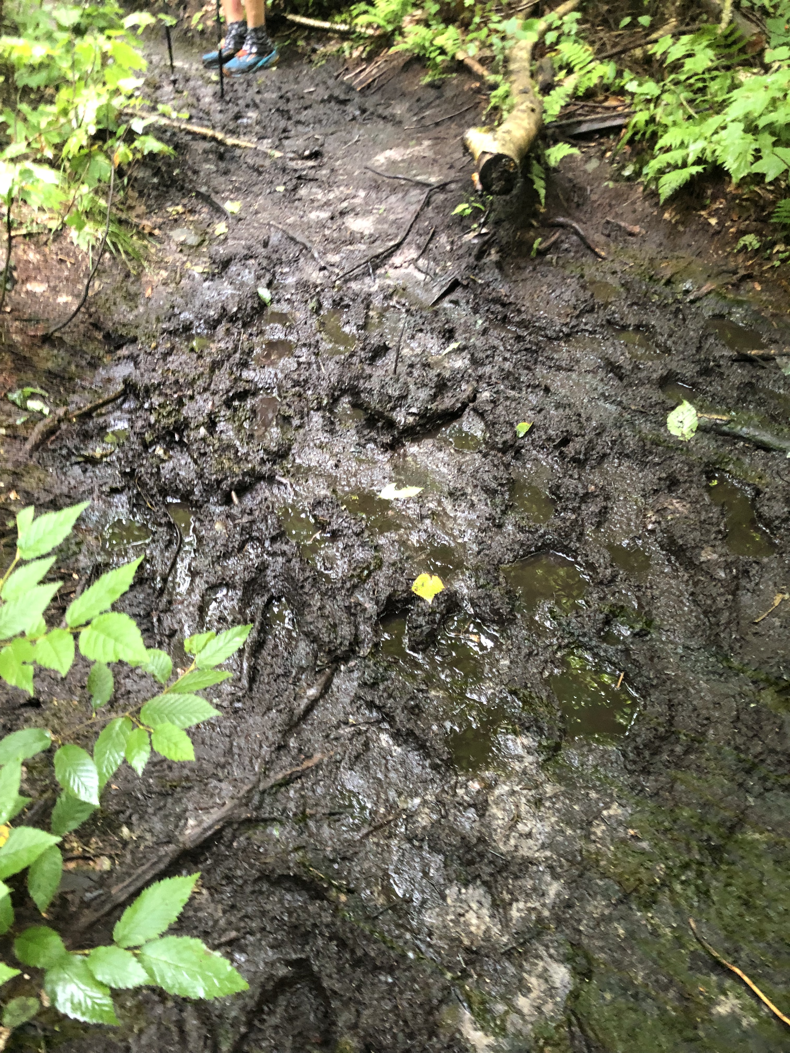
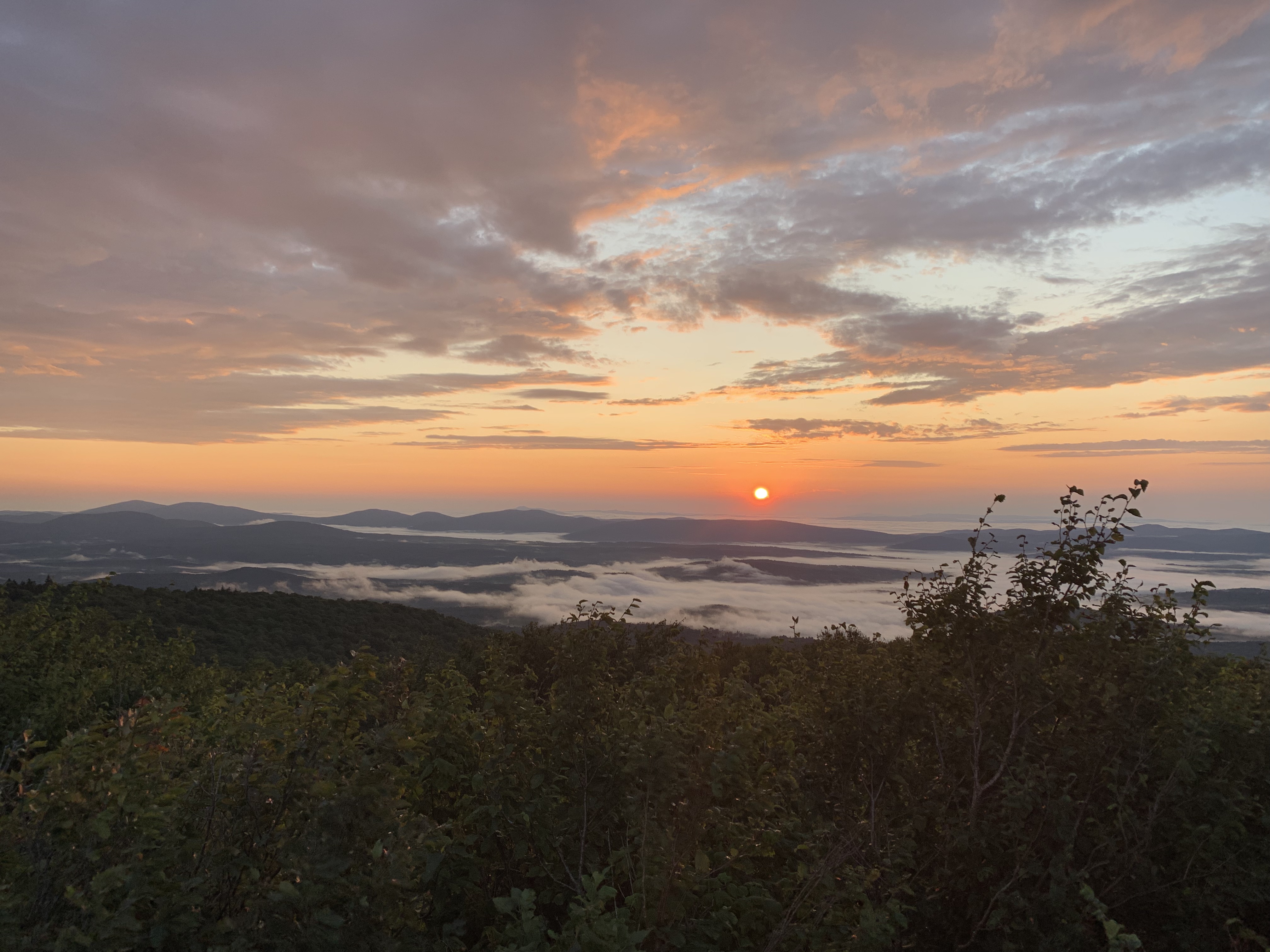
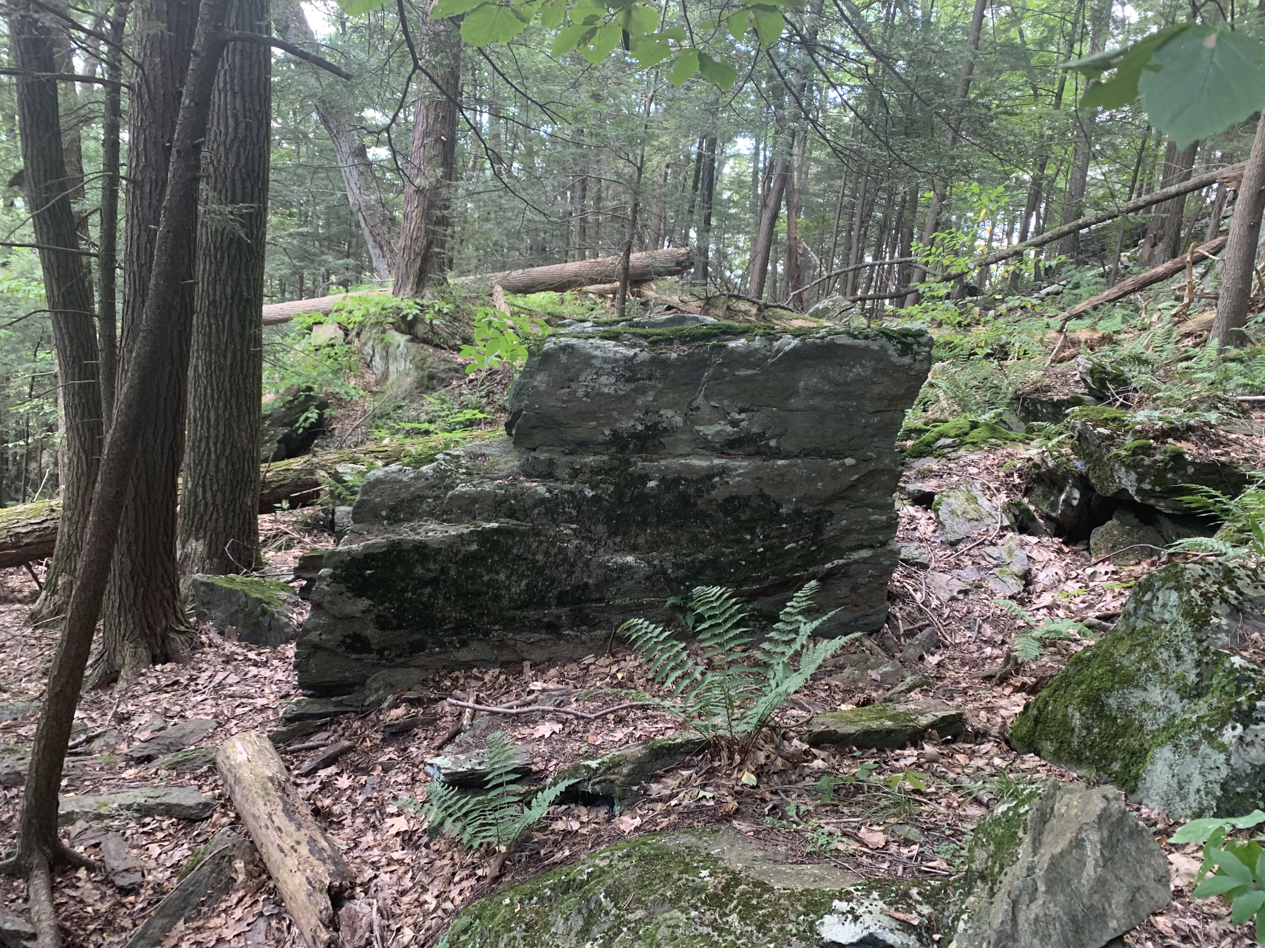
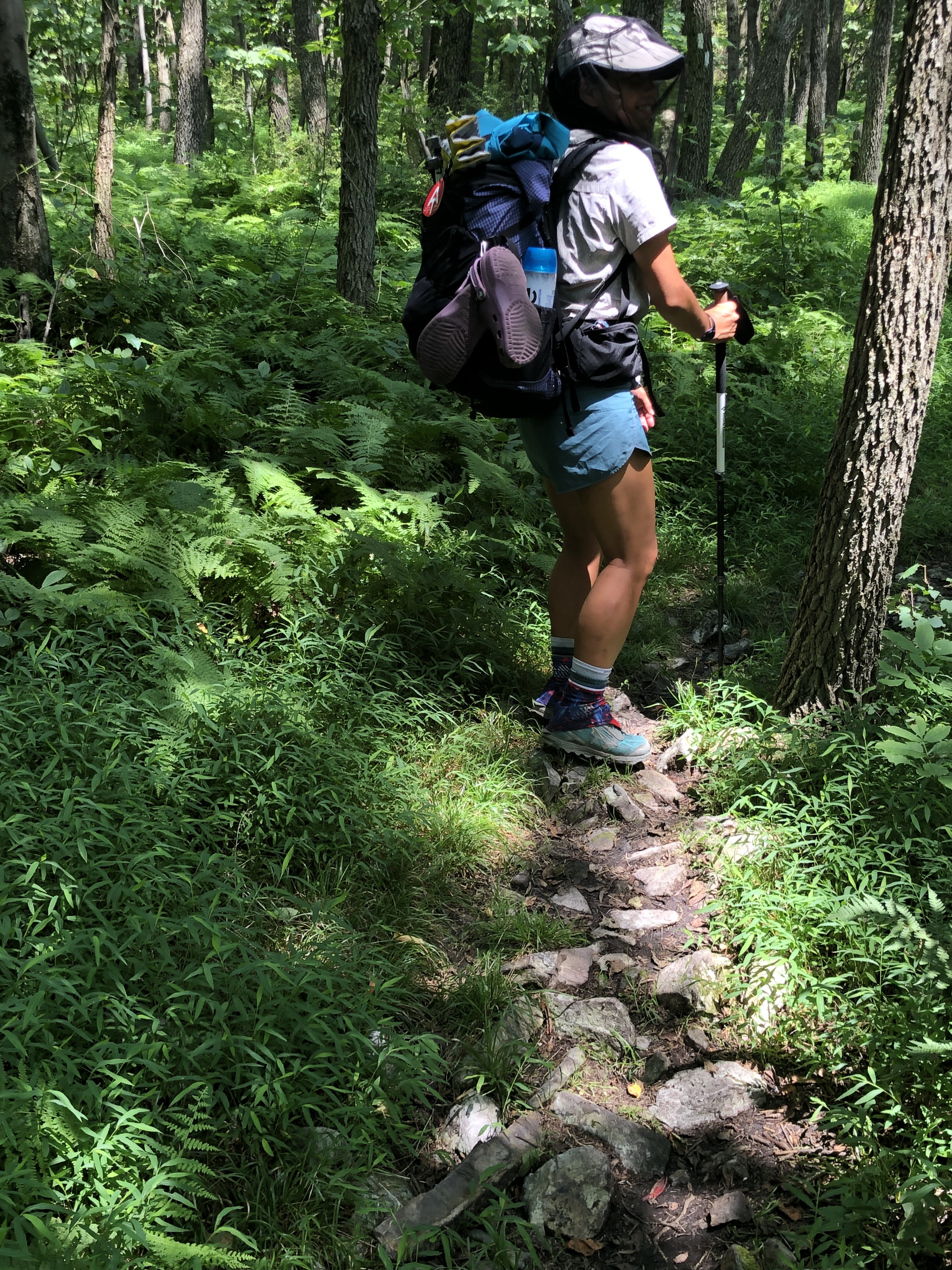
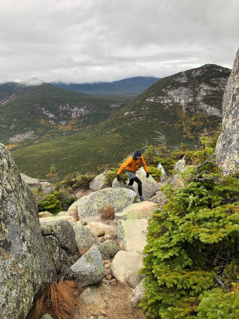
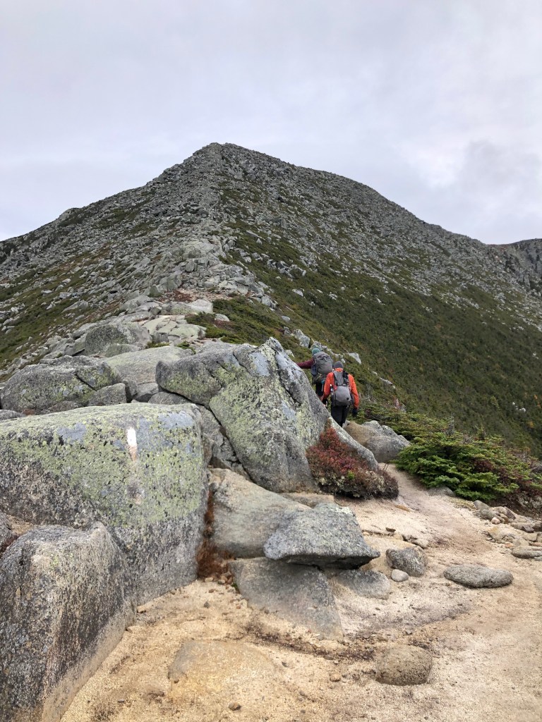
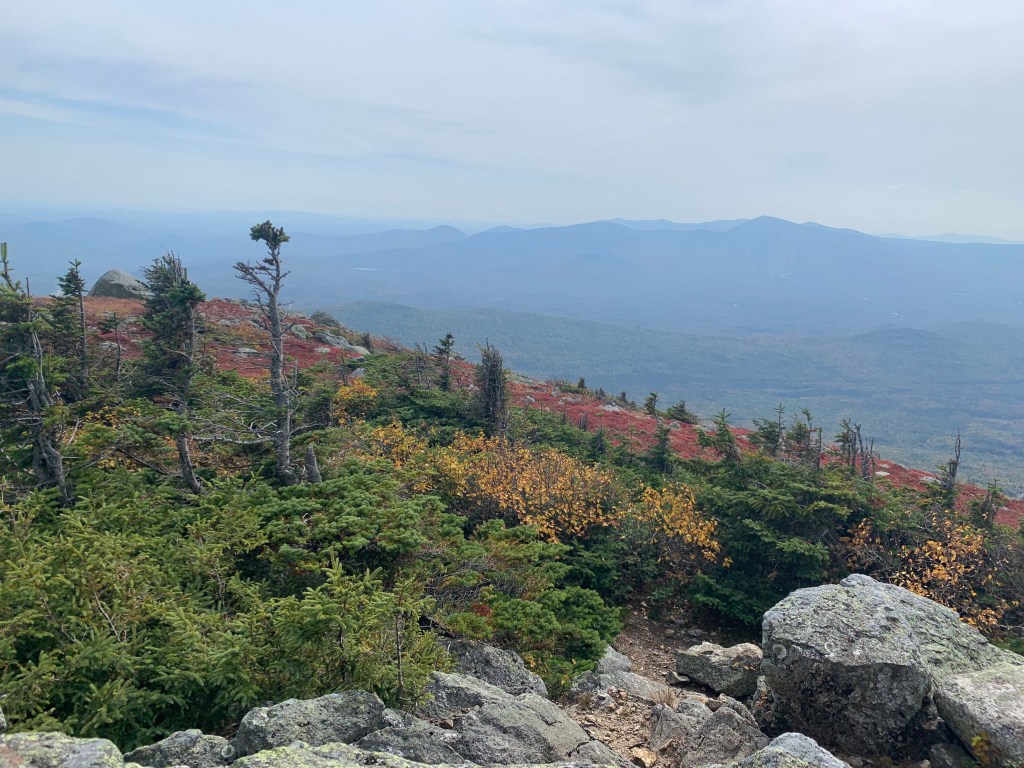
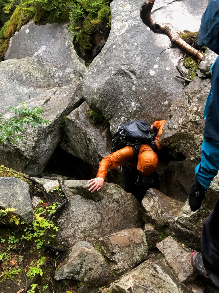
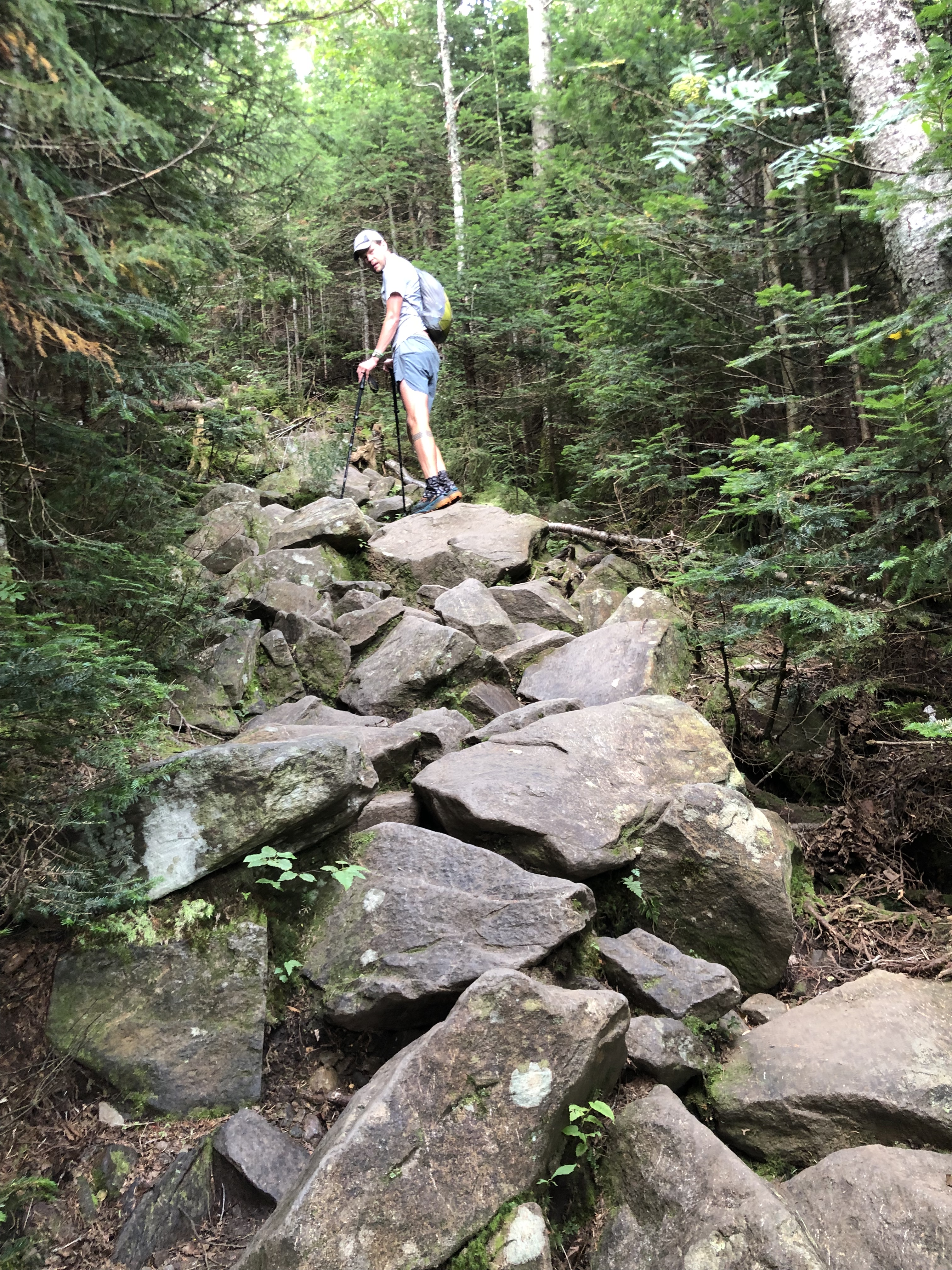
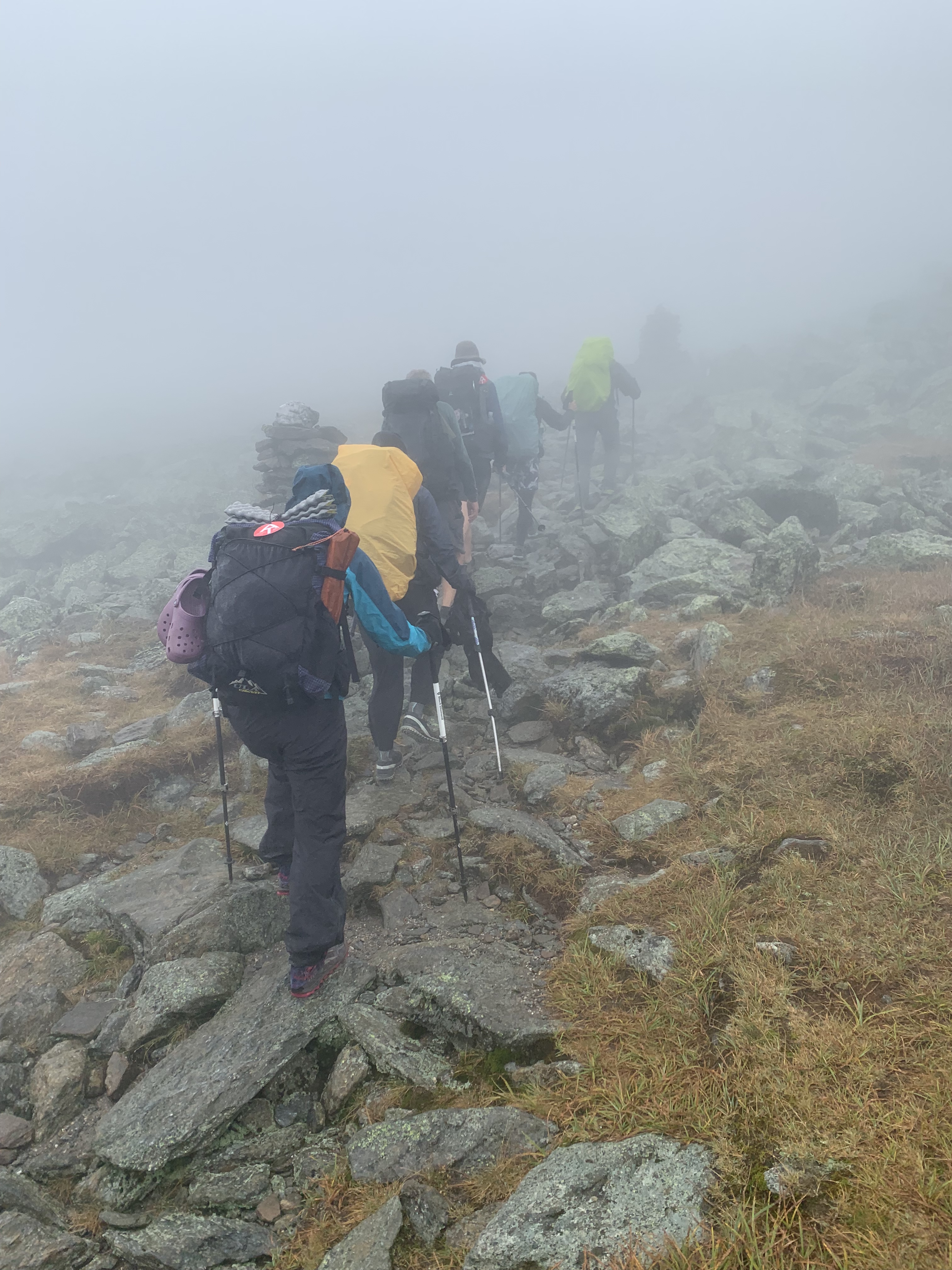
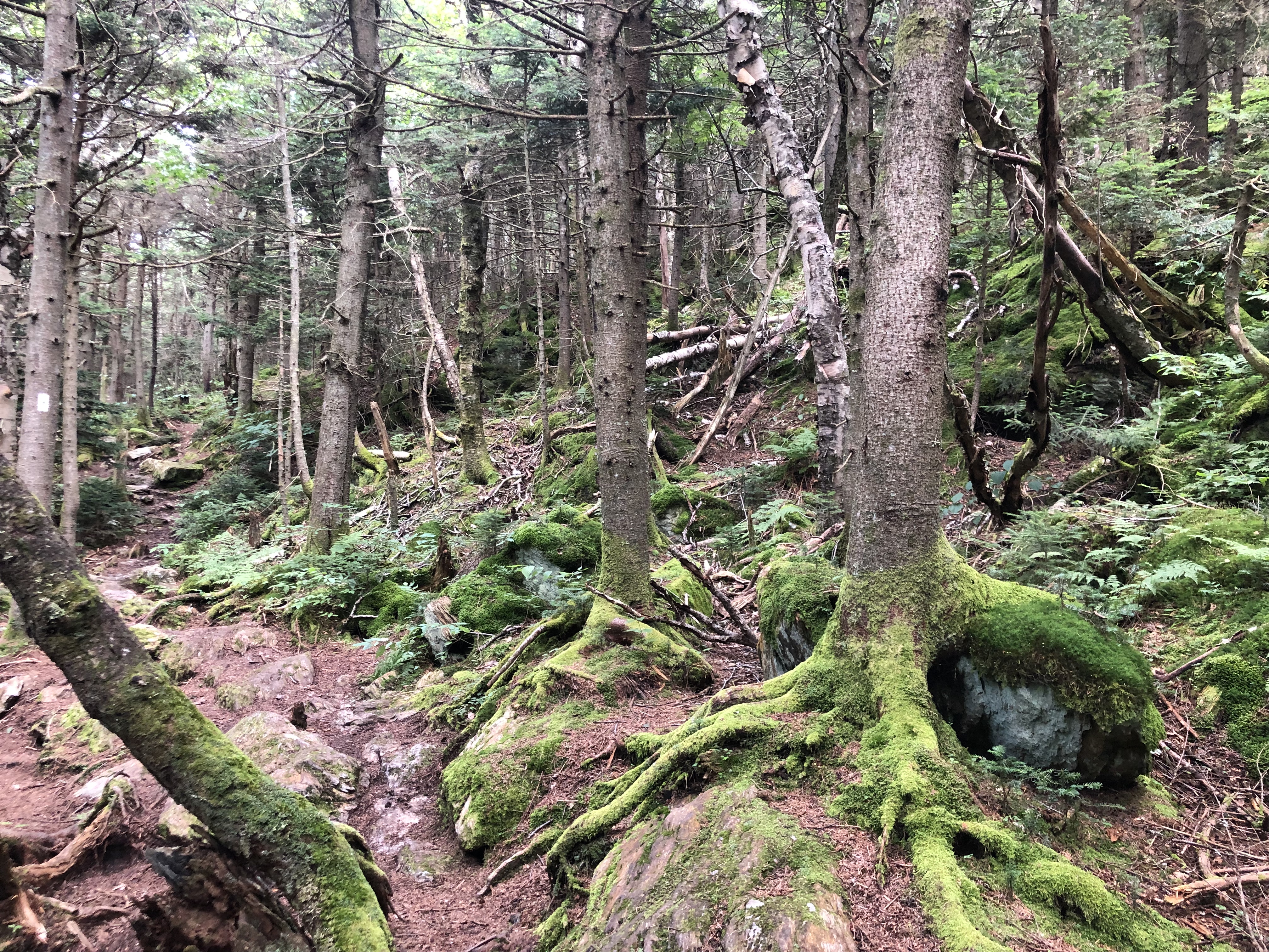
The rest of the trail in Vermont was pretty fast, maybe some of the smoothest terrain so far.

Vermont has a number of shelters and tent sites with caretakers and a small fee. We loved and took advantage of the “pond” sites. (These very large ponds made me wonder if there is actually a difference between a lake or a pond. For the limnologist view on the difference between lakes and ponds, I consulted this article from New Hampshire Department of Environmental Services. Enjoy!) We stayed at both Stratton and Little Rock Ponds and enjoyed one of the last of our summer swims.

Maybe one of the most magical stays we have had was on Bromley Mountain, where they leave the ski patrol hut open to hikers. It’s a primitive cabin – no running water or electricity – but has the luxury of four walls, a door, and windows that open. It’s not usually safe to stay on a mountaintop without these amenities, and we were happy for the protection from the rain and thunderstorms. Additionally, Bromley has a chair lift with a safety net that makes for a cozy spot for taking in the first of the 360 degree views of the mountains. We listened to the thunderstorm that evening from the safety of the hut, and watched the sun rise and wash the mountains with its morning light. We left Bromley with a lot of anticipation for the mountains ahead of us.

Serendipity #2

We have mostly only hitched with a larger group of hikers. Once we were about to hitch into Glasgow, VA when a car pulled up for another hiker and we hopped in too. (Great Fish, thanks for standing out there and letting us mooch.)

But after Bromley, we needed to resupply and this required a hitch into and out of Manchester Center, VT. At the trailhead, we put our thumbs out for about five seconds before a small pickup pulled up with a woman named Susan behind the wheel and a lot of camping and hiking equipment in the cab. We jumped in to find out her daughter (“Little Beast”) is a thru-hiker we met back in Pearisburg, VA.

Serendipity #3

Hitching out of town was harder. We had filled up on town food (really good but pricey burgers at Depot Burger) and wanted to nap. But we smiled and tried to look harmless with our packs on and our thumbs out. After about ten minutes, a couple with a French accent pulled up and offered a ride. After some chatting, we discovered that the couple was from Boston and that the woman was a friend of a Wildflower teacher.

Killington Peak

We had another opportunity to have a friend join us on the trail. We shuttled ahead to the Inn At Long Trail and then went back to where we left off and hiked with Peter, a friend of John’s from business school, over Killington Peak.

Along the way, we enjoyed the moss and mushrooms and then a sign indicating that we had just 500 miles to go! We. Are. So. Close.

We felt so good about our proximity to our trail destination that we took a day off with Peter in Burlington. We enjoyed the drive through the Green Mountains of Vermont and relaxing and taking care of town chores in Burlington. We bought groceries at the co-op there, which included lots of Vermont cheddar cheese and croissants from a local bakery.

After seeing all the turquoise stained wood on trail, we finally found the accompanying mushrooms for chlorociboria aeruginascens or chlorociboria aeruginosa. They are tiny, delicate jewels, and so satisfying to spot.

And, as the weather cools and we find ourselves in alpine forests, the fungi scene is off the hook. Here are a few of the finest we have seen.

Starting in MA and VT, the caterpillars have been out in full force, along with a few chrysalides.

The tri-state area and a quest for the trail’s best lemonade

Not sure if it’s the right terminology, but by tri-state we mean NJ, NY, and CT. The tri-state area of the AT starts at mile 1295 and covers 212 miles and bookends with the Delaware Water Gap to the south and Sage’s Ravine to the north, two of the most beautiful parts of the trail.

New Jersey

Jersey was a variety show for us. New Jersey is made of a lot of beautiful spaces if you can get past your preconceptions of Jersey Shore and the Sopranos. In a single day, we saw equal part marshes, rocks, climbs, Taylor ham sandwiches, and board walks. I’ll try to upload a recording of the marshes later, because all the chatter was just mind boggling.

We also played hookey from the trail one day and water parked it with a couple of great friends. Yes, Courtney, you’re invited to the wedding 🙂

New York

So when you’re a state with only a few rocks, what do you do? Apparently, you make hikers climb over all of them. “See, we have rocks!” Jess referred to New York as the “rock zoo” due to the isolated nature of so many large boulders.

The trail also brought us back to Harriman park, where I swam the swim section of a tri-relay while in business school.

Ever sleep at a drive-in movie theater? We did in Warwick, NY. The owner lets hikers watch movies and tent for free on a hill there. So cool! I tried to teach a Bentley owner how to turn off his blinding lights that were pointed directly at us to no avail, but we still enjoyed Toy Story 4, and got some sleep when all the cats left around 2am.

Best part of New York hands down was the area around Bear Mountain. So many (very cold) vending machines! A pool! And a zoo!

Connecticut

The bugs were everywhere during our time in CT, so we tried to race through the state.

We spent an amazing day off with our good trail friends Betsy and John. They brought us to their lake cottage outside of Kent, where we got to meet their grandson Sam and took a couple of dips in the lake.

Sage’s Ravine, wow! Walking through an old growth hemlock forest next to an icy stream was such a treat, and one of our favorite spots on the trail so far.

Sorry Salisbury, you’re no better than Bland, Virginia. Your population is wealthy and your unused library is beautiful, but the way your average citizen treats outsiders is sad. So much fear of that which is different, with only pockets of acceptance.

Quest for the trail’s best lemonade

Have you ever wanted something so bad you couldn’t taste it?!? That’s the best I can do to describe our relationship to lemonade right now. Over the course of fifteen hundred miles or so, our cravings for lemonade have gone from “oh look, there’s some homemade lemonade. Hmmm. Maybe next time.” to “.01% lemon juice. YES!!!!!”

Next year, trail hostels/restaurants please hold a best lemonade contest. We’ll come back and volunteer as judges. But as such a contest is currently only a figment of my imagination, Turbo and I have used the last 212 miles of NJ, NY, and CT (also some of PA) to search for the best lemonade the tri-state area trail has to offer. Here’s what we found:

Ratings (1-5; 5 is best) based on the following criteria:

Taste: perfection is the balance between sweet and sour here.

Temperature: 32.1 degrees please!

Taster mental readiness at time of discovery: lemonade tastes best when it’s 95 degrees and we’re 18 miles into a day.

Our rankings (to date):

1. Humankind Strawberry Lemonade @ Mutzabaughs Market in Duncannon, PA

Taste: 4, tart with a a good sweetness

Temperature: 4, 40ish degrees

Mental readiness: 5, One of the hottest days of the hike; Duncannon is a mini concrete jungle

Other notes: skeptical of the company, but the lemonade was so good on a hot day!

2. Pitcher of Minute Maid Lemonade @ Mountain Tavern in Branchville, NJ

Taste: 2, sweet without the tartness

Temperature: 5, so many ice cubes!

Mental readiness: 5, exhaustion never felt so quenched

Other notes: arrived here by pure chance, but the trail provides

3. Joe’s Lemonade @ numerous gas stations

Taste: 4, tart with a a good sweetness

Temperature: 4, 40ish degrees

Mental readiness: 3, post-hike, but not totally spent

Other notes: top gas station lemonade

4. Plastic bottle of Minute Maid @ Harriman vending machine

Taste: 2, sweet without the tartness

Temperature: 5, oh so cold. So good!

Mental readiness: 3, it was a chilly morning, but we were coming off a hardcore craving the night before

Other notes: this kicked off an epic day of vending machines. First of seven machines!

5. Wyler’s Light packets on the trail (thanks, Fastball)

Taste: 2, sweet without the tartness

Temperature: 1, trail temp

Mental readiness: 5, nothing is more desired while hiking. Nothing!

Other notes: never would have imagined that we’d delve into artificial sweeteners, but sometimes you have to scratch the lemonade itch

6. Quart of Natalie’s strawberry lemonade @ Salisbury Market

Taste: 4, tart with good sweetness

Temperature: 4, 40ish degrees

Mental readiness: -1, Everything’s worse in Salisbury 🙂

Other notes: Anywhere else, and this could have been a winner

Pennsylvania: nature at its best and the rocks

Finishing a state always feels good, and as we leave Pennsylvania to continue our adventure in New Jersey, we’re closing a chapter on a couple of great weeks of hiking. Despite a record heat wave and some crazy storms, the 229 miles of trail in Pennsylvania treated us really well. We stayed at some of the best camp sites we’ve stayed at to date, we hiked our fastest daily mileage yet, and we were once again enchanted by the scenery around us.

Ants carrying away a large wasp

Trail graffiti

Storms from the safety of town

Trail Magic

Wasp attacking dragon fly

Cold water

Flora/Fauna

Us

The border

One last note on the rocks of Pennsylvania: a rating system

Pennsylvania somewhat unfairly has a bad reputation on the trail. Hikers often call it Rocksylvania due to its rocky terrain, but while there are rocks on the trail, there’s a fair amount of recency bias also at play here. Truth is, Pennsylvania was some of the fastest, levelest terrain we have hiked in but then the last forty or so miles of a 229 mile state have a lot rocks that require non-stop concentration and really tenderize the feet. That said, even in this last stretch, about a quarter of the mileage is so smooooth and fast.

So to provide a little more texture to the constant conversation on the Keystone State’s rockiness, Jess and I created a rocky trail rating system (remember, we have a lot of time out here…)

Category 1

Rock coverage: <25%

Percentage of mileage: 25%

Our speed: 2.6-3.2 mph

Commonly heard exclamation: “wow this is fast! I love this trail”

Category 2

Rock coverage: 25-50%

Percentage of mileage: 35%

Our speed: 2.2-2.6 mph

Commonly heard exclamation: “this isn’t that bad. Why do people complain so much about the rocks?!”

Category 3

Rock coverage: 50-75%

Percentage of mileage: 35%

Our speed: 2-2.2 mph

Commonly heard exclamation: “ouch, owww, ouch. not again!”

Category 4

Rock coverage: >75%

Percentage of mileage: 5%

Our speed: 1.5-2 mph

Commonly heard exclamation: “this is the best part of the the trail yet!” or “if I see another &!@$% rock, I’m going to cry” (depends on the person)

Milestones: Halfway and beyond

After seventy-five days on the trail (seventy-six if you include the Approach trail and Amicalola), we made it to Harpers Ferry, the fake halfway point on the AT.

Fact check:

  • The 2019 trail is 2,192 miles, a little over 2,200 if you include the Approach Trail.
  • Harpers Ferry is at mile marker 1,023.
  • Halfway is at mile marker 1,096.

We celebrated like the fools we are. Those one thousand and twenty three miles were packed with lots of steps and learnings and some challenging times. So we proceeded to have our pictures taken at the Appalachian Trail Conservancy. We walked through the historical, touristy parts of Harpers.

We had just blazed through 12.7 miles of trail in the pouring rain to make it to Harpers Ferry in time for a train.

We extended our celebration into DC, where we rested for two whole days in a row, and then a third when we returned to Harpers.

Getting to Harpers Ferry and DC was a big milestone for us. Fully aware that we were not quite halfway, we celebrated with several friends.

We stayed with Scott, Ann, and new baby Grace. The cat Mia tolerated us taking over her basement space and the laundry room, where all of gear was washed, including our backpacks. We felt honored to be with Grace and her parents when she was just a few days old.

We visited with Josh, Sam, and Isabel.

We saw Bob (twice!) and Jeff. We ate at Union Market twice. We drank all the cold beverages (my number one craving on trail), and ate fresh food (mango lassis! pork belly steam buns! Watermelon! Ramen! Ice cream!) Scott made this beautiful berry shortcake with whipped cream and mint. We were also still sipping the scotch that Jeff brought us in the woods.

On our way back to Harpers Ferry, we visited with Steve, Emily, Aubrey, and Sophie. Steve and Emily have hiked a fair amount of the AT in sections, and it was fun to discuss the trail with dedicated section hikers. Their gear wall is very impressive, as is Aubrey’s house tour.

The downside to celebrating early is that the actual halfway felt like a long way away from Harpers Ferry.

Before we reached the real halfway point, John and I:

  • Passed through West Virginia, Maryland and started the 229 mile trek across Pennsylvania.
  • Completed a marathon day which involves hiking at least 26.2 miles (we actually did 27.1 to make it to a campsite).
  • Passed the Mason-Dixon Line. We are now back in the north. And so far, the hotels are way more expensive up here.

The distance between the fake halfway point and the actual one is only seventy-three miles. But the psychological distance felt longer!

John was real tired after the marathon day. It was his first marathon after all! (Congratulations, John!)

I prefer hiking a marathon to racing in one, so I was in better spirits. Also because snacking is easier when hiking.

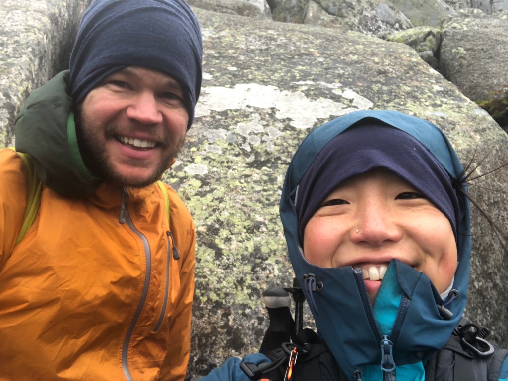
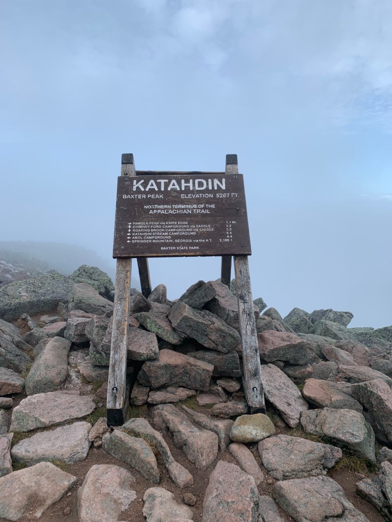
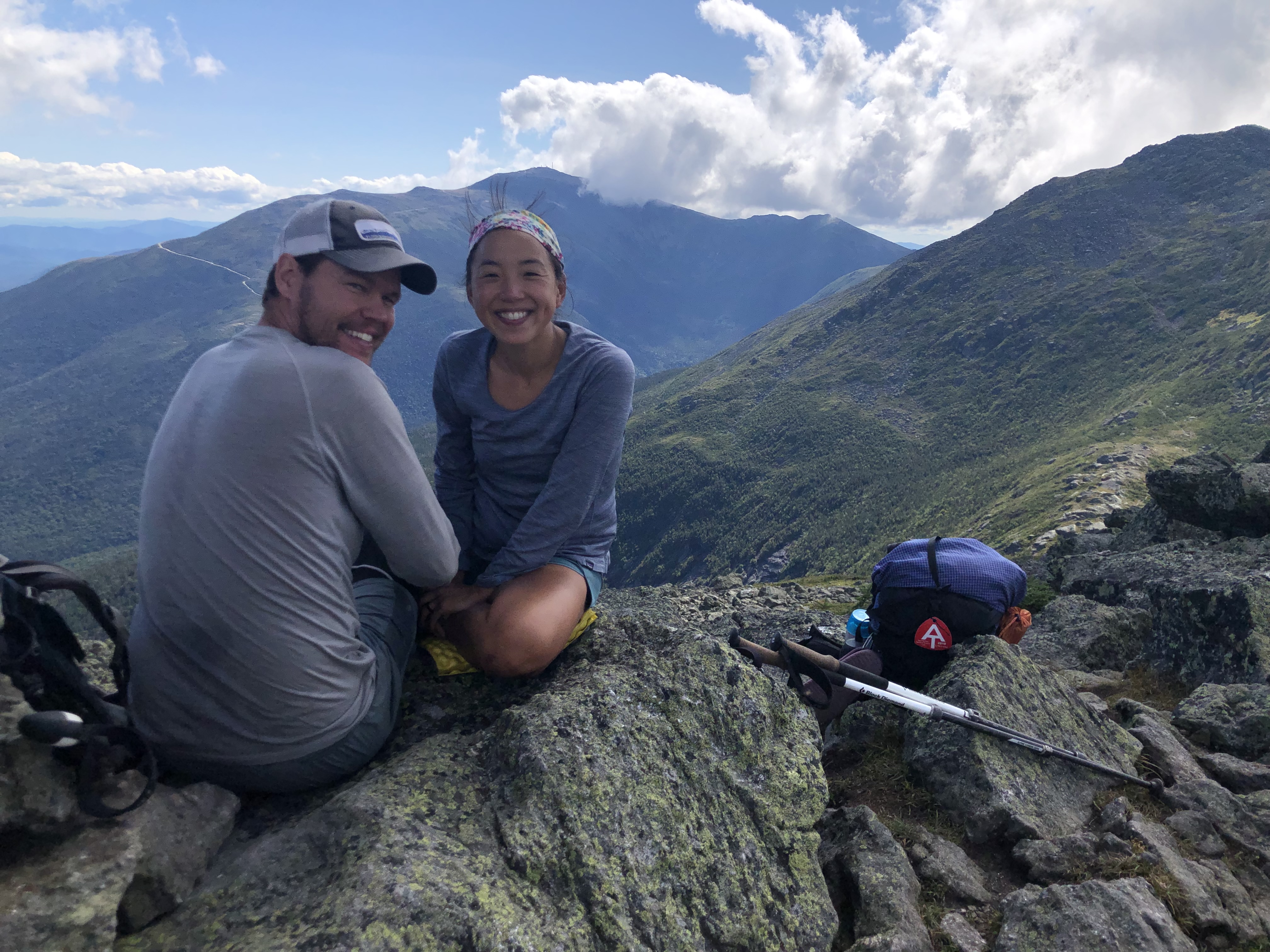
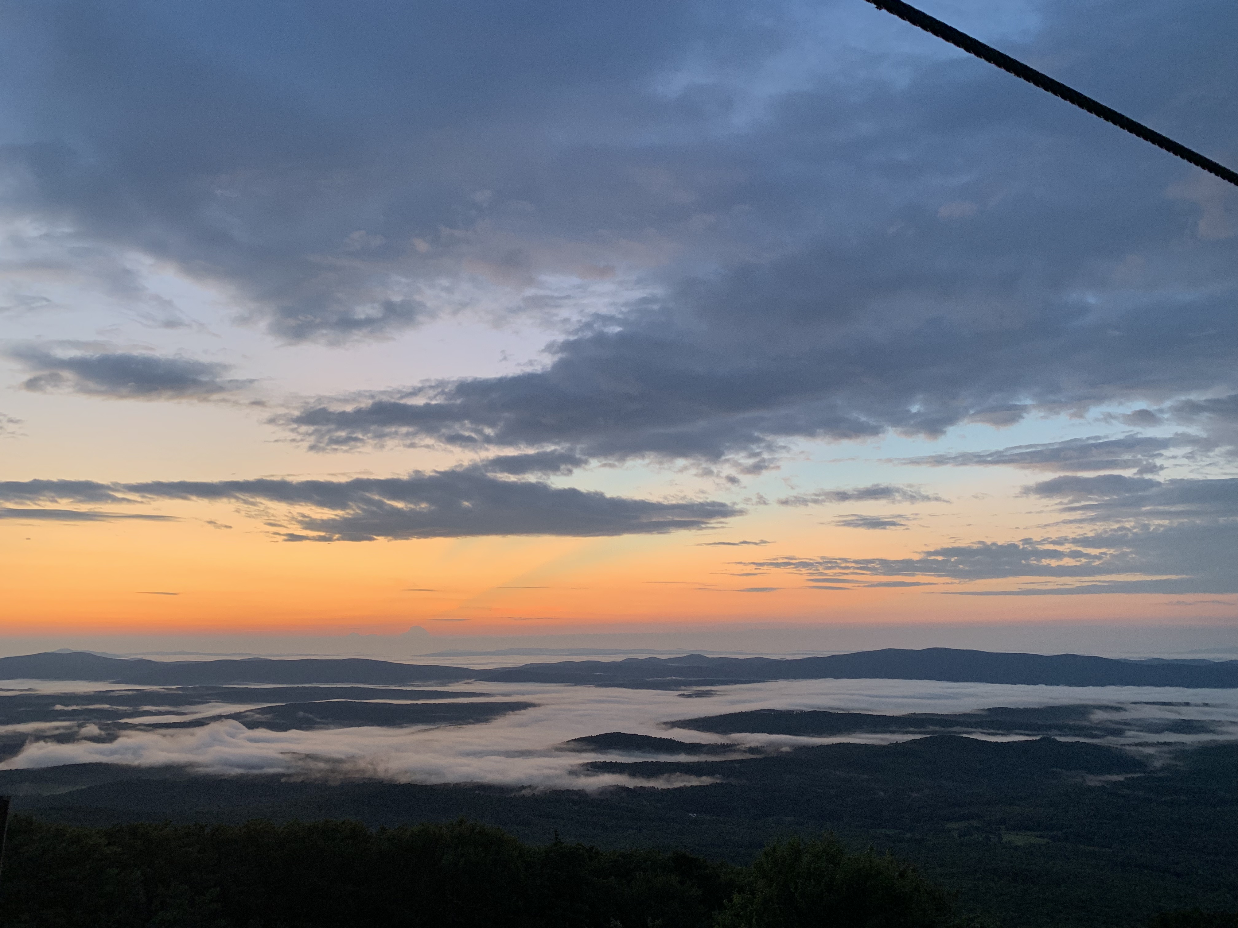
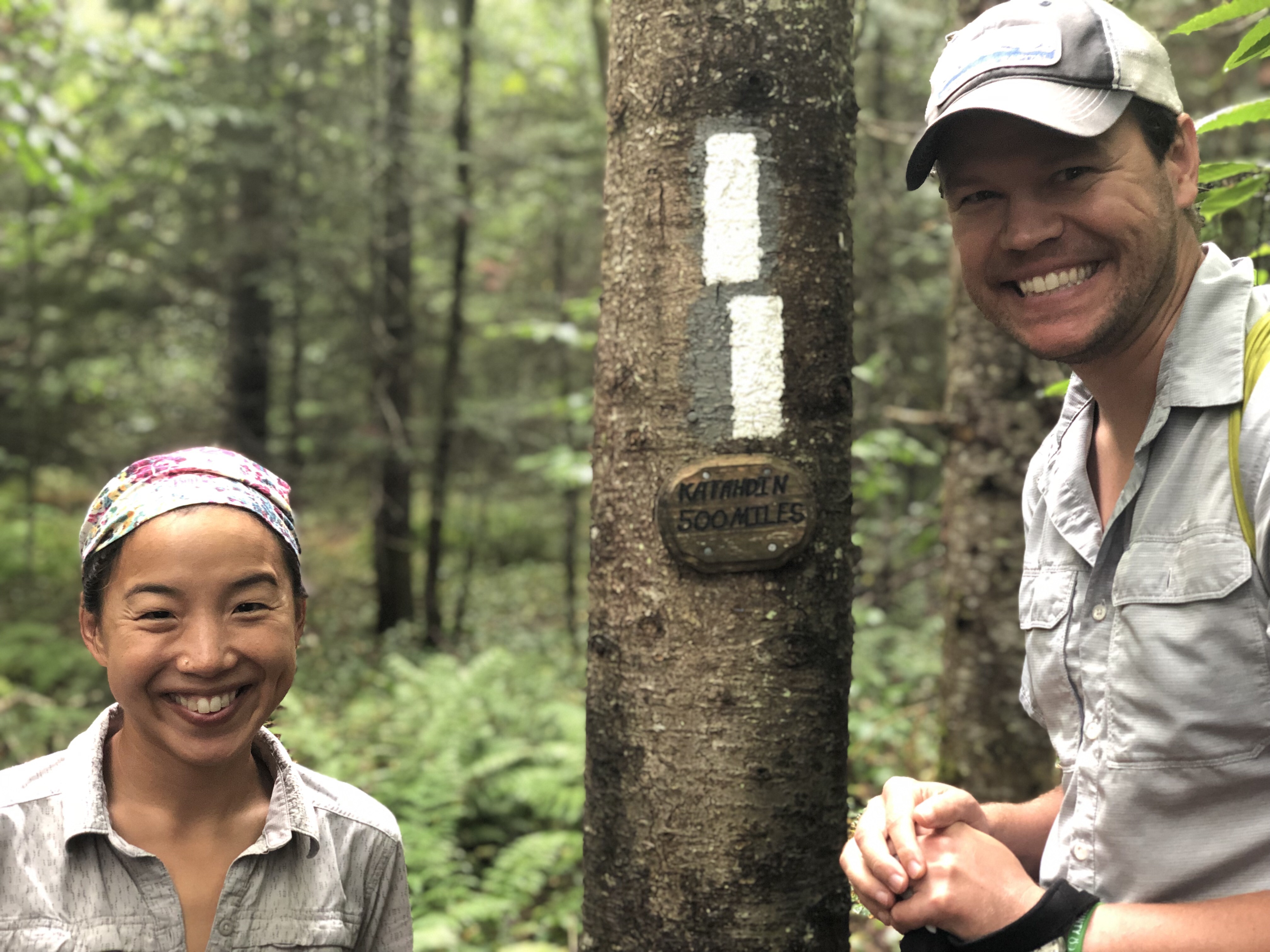
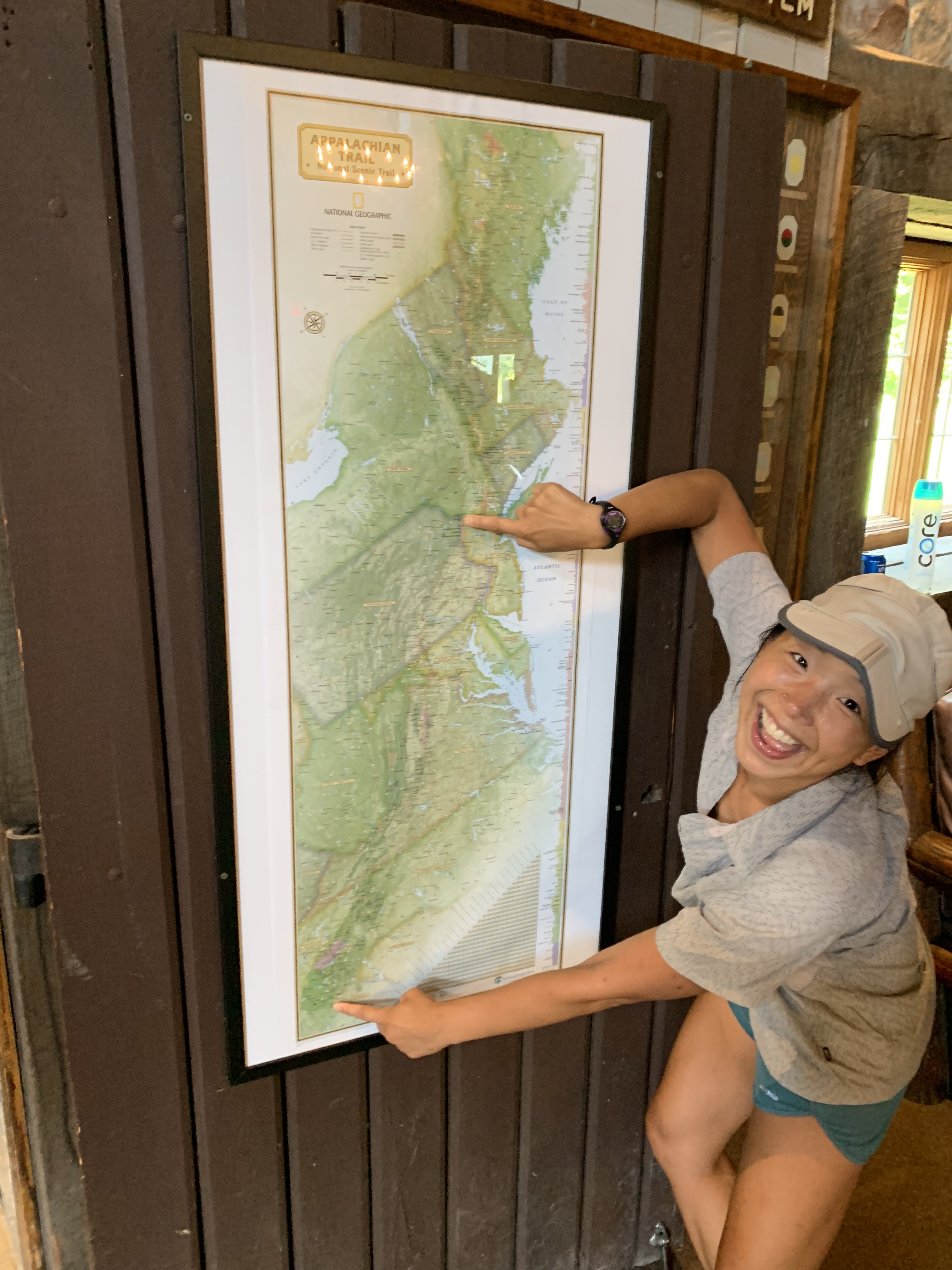
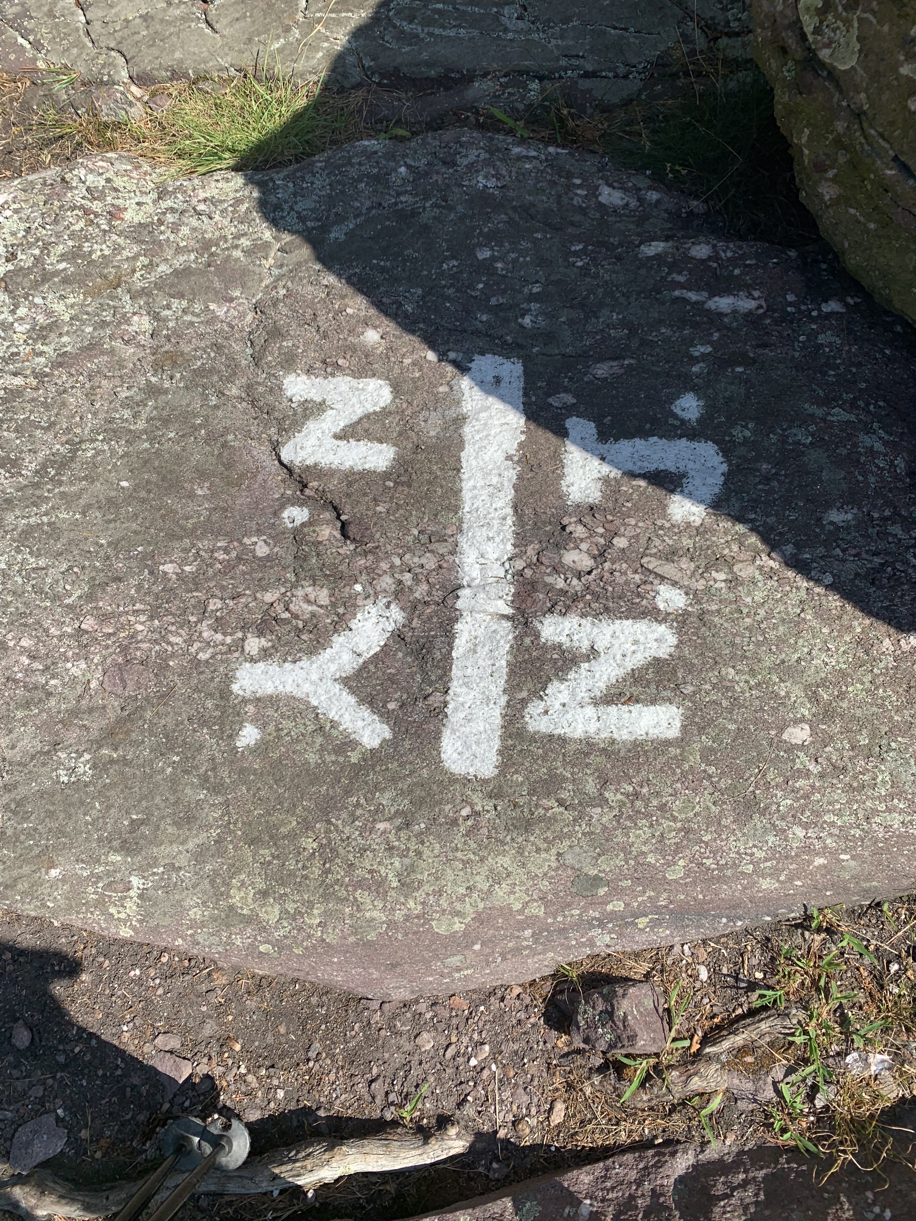
And here is the real halfway point at 1,096 mile marker. The sign wasn’t updated yet for 2019. Ruh-roh.

And now, we are making new milestones. Sometimes it’s just getting through an unexpected flooded section of the trail (beavers aren’t the best trail maintainers) or past a boulder field. The bigger milestones are getting through states and reaching the hundred mile wilderness and the infamous mountains of the northeast: Washington, Greylock, Katahdin. I made this spreadsheet to help us keep track of the upcoming states. When the bugs are buzzing around our heads and the heat feels intolerable, it helps to have new goals in mind.

The second half of the trail represents a real turning point for some hikers. Some dig in their heels and press on. And others have started to drop off. We are tired but also finding good routines that keep us on trail so far.

Virginia, you suck sometimes. bye.

Most of the pictures we take out here are of us either smiling or having fun. The flora is beautiful and the fauna interesting.

And it’s true, for the majority of the time we find ourselves getting lost (figuratively) in our hikes and enjoying the time we have together, but at other times we’re in semi-crippling physical pain, homesick, scared of weird people and dangerous animals, arguing with each other, overwhelmed by how much further we have to go, sick of eating the same high calorie processed garbage every day, really really tired (I’ve taken close to 3,000,000 steps already; Jess has shorter legs…), and missing a sparkling cold beverage. Yeah, not fun, and at no time has this been more true than over our last days in Virginia. The “Virginia Blues” that other hikers talk about are very real, but thankfully we’re done here. Mason Dixon here we come.

Dear Virginia,

It’s not you, it’s us. There have been good moments, but this relationship wasn’t meant to last. There will be others. Just not us. Bye.

Kisses,

Turbo and Lighthouse

Virginia is for Lovers

We are in Virginia, which is the largest section of trail in a single state. It includes Damascus (host to Trail Days, a hiker gathering) on the southern end, McAffee Knob, Dragon’s Tooth, and Tinker Cliffs in the middle, and Shenandoah National Park on the northern side. All told, Virginia owns 551 miles of trail, almost 1/4 of the entire journey.

It’s a lot of trail packed into one state. And there is so much to see and appreciate here.

And yet. We have both had days when hiking has lost its sheen. (See also: all the talk about The Virginia Blues.) Thru-hiking is not an activity that involves much moderation. Every day we set out to hike no less than 15 miles, and these days we try to average 18 miles a day. It can be easy to slide into a routine of just pounding out miles and getting lost in the soreness of our feet and the rockiness of the terrain. Personally I’m not living up to my trail name these days because I’m regularly saying to John, “Can we go slower today? I just want to stroll.”

Luckily, the trail and the area surrounding it have many opportunities to slow down.

Dragon’s Tooth is a set of jagged rocks that required some climbing, though not so serious that these two amateurs couldn’t make it.

Hiker reunions. The view from McAfee Knob at sunset was a group event. We have been slowly reunited with hikers we met on Day 1 at Springer and in the first weeks of our trip. A large group of us took it slow over this stretch of trail.

Food. Really good food. Another reason we slowed down as a crew was to go to The Homeplace Restaurant in Catawba, VA. It’s a beautiful spot in an old house with some of the best food we have had just off the trail.

It’s not the easiest to go to. It’s only open Thursday to Sunday from 4-8pm. And apparently we made it three days prior to the start of a ten day vacation for the staff.

But the Homeplace is well worth the effort. For $20, you can have an AYCE (all you can eat), family-style meal with fried chicken, roast beef, slow cooked pork, ham, biscuits, mashed potatoes, gravy, coleslaw, pinto beans, green beans, baked apples, pepper relish, apple butter, cobbler, ice cream, coffee, iced tea, and lemonade. Yum. For those with a calorie deficit, it’s heavenly.

I have no photos of the food because of how completely focused on eating we became once the bowls of steaming biscuits and crispy fried chicken arrived at the table. (Note: this place is not for vegetarians.)

We lounged for awhile before cramming into a van and getting back on trail, our bellies full of the best trail meal in Virginia.

Bring Your Own Lobster. Okay, we know this is pre-emptive and we should really wait for the northeast to get lobster. (Friends who live close to lobstering coasts, look away.) But we’ve been craving fresh, ungarnished food and broke down and had a lobster steamed at a Kroger seafood counter and ate it in the parking lot with a nutcracker we purchased at the store. Super classy. Especially with the barnacles.

Physical setbacks. John sprained his ankle the other day on trail so we hoofed it seven miles to a spot where we could stay off trail for a two days. After ice baths, arnica applications, KT taping, legs up the wall sessions, and one day of slackpacking where John kicked my butt up the hills, I’ve decided it’s time for John to carry a pack again so I can enjoy hiking again.

Berries. The berry situation is in full force. Fresh food is hard to come by, except when it’s berry season and the trail is lined with blueberries, raspberries, blackberries, and … wineberries.

Hikers don’t work nearly as hard as this dung beetle.

Turtle crossings

Snakes that won’t get off the trail.

Wildflowers. We started the trail when all of the spring wildflowers were in bloom, and we still try to capture new photos of flowers as we see them. Here are a few of the new ones.

Fungi. Since we received a heavy rain at the start of Virginia, we have seen many varieties of fungus.